Batiquitos Lagoon, Coastal wetland in San Diego County, California, US.
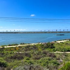
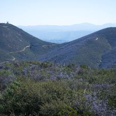
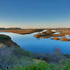
Batiquitos Lagoon is a coastal wetland between Carlsbad and Encinitas that features open water, mudflats, salt marshes, and riparian forests across approximately 610 acres. The different habitat types create a layered ecosystem where water depth and salinity vary across the landscape.
Human habitation around Batiquitos Lagoon dates back over 9,000 years. The area was opened to homesteading in the 1870s, and over the next century roads and building projects blocked tidal flow, silting the lagoon and reducing fish diversity to five species. In 1997 the Port of Los Angeles began an environmental restoration that returned full tidal exchange; more than 65 fish species have since been recorded.
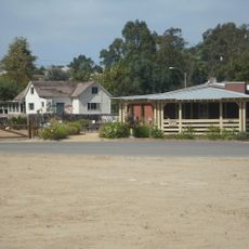
The name Batiquitos comes from the Spanish batequi, a watering hole dug in a stream bed, itself from the Yaqui word bate'ekim. The Batiquitos Lagoon Foundation runs a nature center open daily, with guided walks covering the birds, insects, plants, fish, mammals and benthic organisms of the wetland.
The 1.75-mile trail on the north side roughly follows the lagoon shore and is generally wheelchair and stroller friendly. The Batiquitos Lagoon Foundation Nature Center, open daily, is the starting point for its guided walks. San Marcos Creek enters from the east and Encinitas Creek from the north, under El Camino Real and La Costa Avenue.
This lagoon serves as a nursery ground for more than 65 fish species and represents one of the last remaining tidal wetlands along southern California's coast. The combination of different water zones supports species that depend on these specific conditions for breeding and survival.
The community of curious travelers
AroundUs brings together thousands of curated places, local tips, and hidden gems, enriched daily by 92,632 contributors worldwide.