Chino Hills, Residential city in San Bernardino County, US
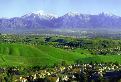
Chino Hills is a residential city in southwestern San Bernardino County, California, spreading across gently rolling terrain marked by numerous hills. The city sits at an average elevation of around 850 feet (260 meters) above sea level and covers roughly 45 square miles (116 square kilometers) between Los Angeles County and Orange County.
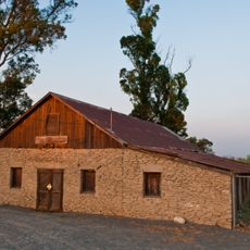
The area was originally home to the Tongva people who established the village of Wapijanga before Spanish missionaries created grazing lands starting in 1771. Beginning in the 1970s, the rural landscape converted into residential neighborhoods that led to official incorporation as a city in 1991.
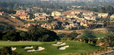
The name comes from the Spanish words for hills and the curly vegetation that early settlers found here. Today, the city serves families who prefer spacious single-family homes with large yards and easy access to parks and hiking trails.
Several state highways cross through the city and connect it to neighboring counties, including routes 60, 71, 91, and 142 for driving in all directions. The hilly topography requires some physical endurance when hiking or cycling, while residential neighborhoods feature well-maintained sidewalks.
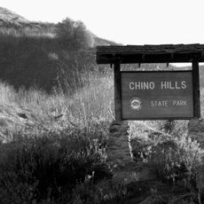
A large state park sits right next to the city and preserves over 14,000 acres (57 square kilometers) of natural landscape with hiking trails and wildlife. This park is the largest California state park within an urban setting, offering an unusual contrast to the surrounding residential areas.
The community of curious travelers
AroundUs brings together thousands of curated places, local tips, and hidden gems, enriched daily by 60,000 contributors worldwide.