Enable Location

We need your location to show you interesting places around you

Discover nearby places

Find interesting locations and hidden gems around you

Precise directions

Get accurate directions and distances to places

Your location is never shared with other users. It's only used when you tap the location button.

Temple City

Log in to your account

Start exploring — it's free

Trusted by 62,446 travelers worldwide

Continue with Google
Continue with Apple
or

We will send you a code to connect

By continuing, you accept our Terms and Conditions and our Privacy Policy

Check your inbox

We've sent a pincode in your inbox. Please enter the code below.

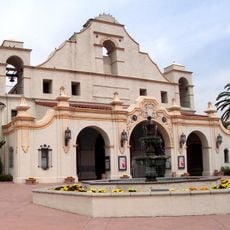
Temple City, Charter city in Los Angeles County, United States.

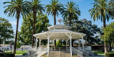
Temple City is a charter city located in the western San Gabriel Valley, roughly 20 kilometers east of downtown Los Angeles. The built-up area consists of residential blocks marked by single-family homes, small commercial strips, and neighborhood parks.

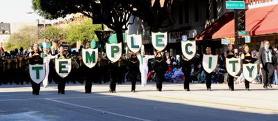
Walter P. Temple, a prominent Southern California builder and banker, founded the original settlement in 1923. Formal incorporation as a charter city occurred later in the 20th century, shaping the community's self-governance.

Temple City has become a residential community where different groups live together and local shops shape daily life. The streets are marked by family-run restaurants and small businesses that reflect the character of the area.

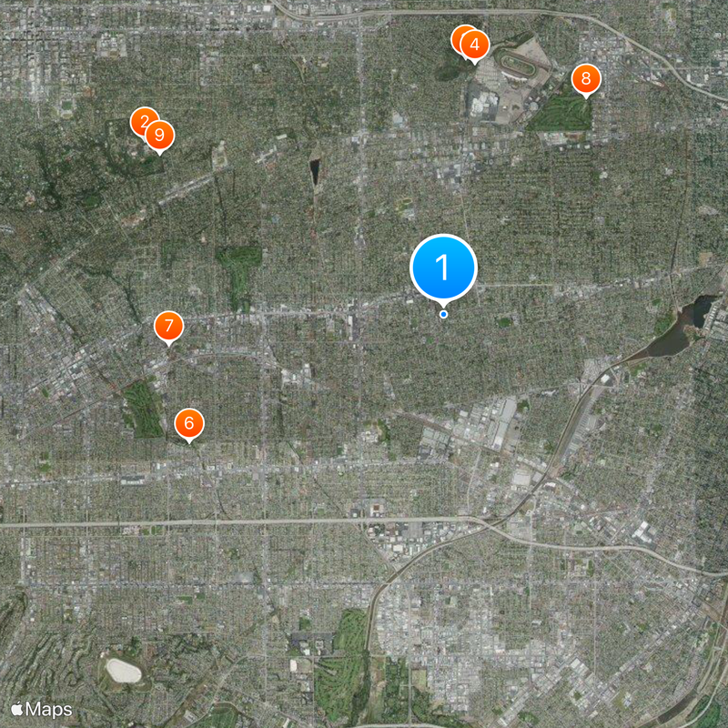
The city is easily accessible by car, with several roads providing north-south and east-west connections. Visitors can find parking at public buildings, commercial strips, and parks throughout the area.

The location was once known for citrus farming before transforming into a modern residential community. Some scattered agricultural areas still remain as reminders of the region's rural past.

The community of curious travelers

AroundUs brings together thousands of curated places, local tips, and hidden gems, enriched daily by 60,000 contributors worldwide.

Start exploring
Inception
May 30, 1923
Elevation above the sea
122 m
Shares border with
Arcadia, Rosemead, El Monte
GPS coordinates
34.10278,-118.05806
Latest update
December 19, 2025 22:21
Around this place
The Huntington Library, Art Museum, and Botanical Gardens
United States of America

The Huntington Library, Art Museum, and Botanical Gardens

5.8 km
Los Angeles County Arboretum and Botanic Garden
United States of America

Los Angeles County Arboretum and Botanic Garden

4.3 km
Queen Anne Cottage and Coach Barn
United States of America

Queen Anne Cottage and Coach Barn

4.3 km
Huntington Desert Garden
United States of America

Huntington Desert Garden

5.5 km
Vincent Lugo Park
United States of America

Vincent Lugo Park

4.8 km
San Gabriel Mission Playhouse
United States of America

San Gabriel Mission Playhouse

4.7 km
United States of America

Santa Anita Golf Course

4.4 km
Desert Garden Conservatory
United States of America

Desert Garden Conservatory

5.5 km
Jardín Botánico de Huntington
United States of America

Jardín Botánico de Huntington

5.5 km
United States of America

Arcadia High School Recreation Park

3.8 km
United States of America

M3 Lee

5.9 km
United States of America

Statue, Work of art

5.8 km
United States of America

Mission San Gabriel Archángel

4.5 km
United States of America

M3 Lee

5.9 km
United States of America

Alhambra Golf Course

5.3 km

Performing Arts Center

3.5 km
United States of America

Eagle Statue

3.8 km
United States of America

Five Minimalist Poems

3.4 km
United States of America

Work of art, statue

4.2 km
United States of America

San Gabriel Country Club

3.5 km
United States of America

Statue, Work of art

5.8 km
United States of America

Work of art, statue

5.8 km
United States of America

Work of art, statue

5.8 km
United States of America

Work of art, statue

5.8 km
United States of America

Tallac Knoll

4.1 km
United States of America

Viewing Platform

4.3 km
United States of America

North Vista

5.8 km
United States of America

Mayberg Waterfall

4.2 km
Show the full map
« Temple City - Charter city in Los Angeles County, United States » is provided by Around Us (aroundus.com). Images and texts are derived from Wikimedia project under a Creative Commons license. You are allowed to copy, distribute, and modify copies of this page, under the conditions set by the license, as long as this note is clearly visible.

Discover hidden gems everywhere you go!

From secret cafés to breathtaking viewpoints, skip the crowded tourist spots and find places that match your style. Our app makes it easy with voice search, smart filtering, route optimization, and insider tips from travelers worldwide. Download now for the complete mobile experience.

Around Us App Screenshot

A unique approach to discovering new places

Le Figaro

All the places worth exploring

France Info

A tailor-made excursion in just a few clicks

20 Minutes

Around Us
Travel Guide & Maps
Download

Send to your phone

QR Code
1

Open the camera app on your mobile.

2

Point at the QR code with your camera. A notification will appear.

3

Tap the notification to open the link.