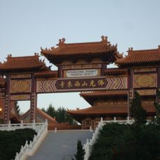
Avocado Heights, Census-designated place in Los Angeles County, United States
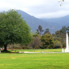
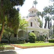
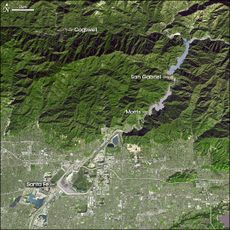
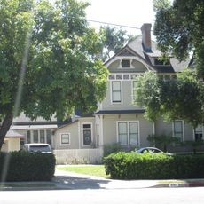
Avocado Heights is a census-designated place in the San Gabriel Valley, Los Angeles County, made up of residential neighborhoods alongside some commercial businesses. The area sits on flat terrain and borders several other communities in the eastern part of the county.
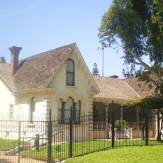
The land was once part of Rancho La Puente, a large Mexican land grant in the 19th century, and was used for farming before the area began to grow as a suburb. The shift from agriculture to housing followed the broader expansion of Los Angeles County during the 20th century.
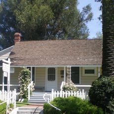
Avocado Heights has a long-standing equestrian tradition, and private stables are still visible in many residential blocks today. Walking through the area, visitors often notice horses grazing behind fences, a sight that sets it apart from nearby suburbs.
Avocado Heights is easily reached by car via nearby freeways that connect it to surrounding cities in the San Gabriel Valley. Most points of interest are spread across the area, so having a vehicle makes it much easier to get around.
The name Avocado Heights comes from the avocado orchards that once covered much of this land before housing took over. No commercial orchards remain today, but the name is a direct trace of what the area looked like not so long ago.
The community of curious travelers
AroundUs brings together thousands of curated places, local tips, and hidden gems, enriched daily by 60,000 contributors worldwide.