Chest opened
+${chestReward.xp} XP
Explorer
NOUVEAU ×${chestReward.collectible.quantity}
tapez pour fermer
Chest locked

Open chests in the app

Around Us is built for your phone — chests unlock when you walk, explore and capture nearby places.

Enable Location

We need your location to show you interesting places around you

Discover nearby places

Find interesting locations and hidden gems around you

Precise directions

Get accurate directions and distances to places

Your location is never shared with other users. It's only used when you tap the location button.

Log in to your account

Start exploring — it's free

Trusted by 72,887 travelers worldwide

Continue with Google
Continue with Apple
or

We will send you a code to connect

By continuing, you accept our Terms and Conditions and our Privacy Policy

Check your inbox

We've sent a pincode in your inbox. Please enter the code below.

Silver Moccasin Trail
Discussion Reviews Photo
3.9k Popularity

Silver Moccasin Trail, National Recreation Trail in Los Angeles County, US.

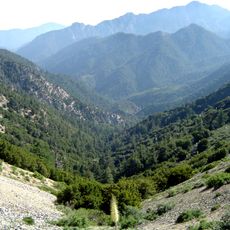
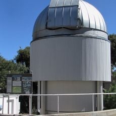
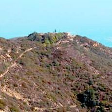
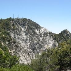
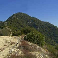
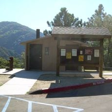
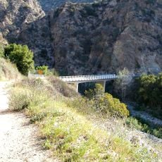
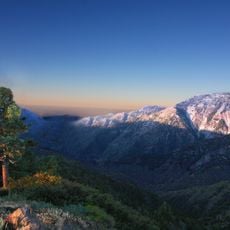
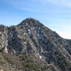
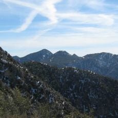
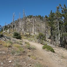
The Silver Moccasin Trail is a hiking route through the San Gabriel Mountains spanning 53 miles from Chantry Flat to Vincent Gap on Angeles Crest Highway. The path features multiple entry points, campgrounds, and junctions with other forest trails while climbing to 9,399 feet at Mount Baden-Powell.

The route originated from Native American paths through the San Gabriel Mountains before the Los Angeles Area Council of Boy Scouts established it as an official trail in 1942. This Scout connection has defined the path ever since.

Boy Scout groups travel this route during multi-day hiking expeditions to earn the Silver Moccasins Award, a recognition for physical achievement. The trail serves as a meaningful backdrop for young people to test their endurance and build outdoor skills.

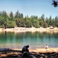
The trail demands solid physical preparation and several days to complete, with varying difficulty levels depending on which section you choose. Water sources and shelter are limited, so advance planning and self-sufficiency are important.

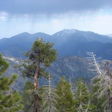
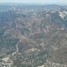
The trail passes through distinct ecological zones with dramatic elevation shifts, moving from dry chaparral slopes to dense pine forests within hours of hiking. This variety of landscapes over a short distance is uncommon in Southern California.

The community of curious travelers

AroundUs brings together thousands of curated places, local tips, and hidden gems, enriched daily by 60,000 contributors worldwide.

Start exploring
GPS coordinates
34.30640,-118.01000
Latest update
December 11, 2025 18:04
Reviews
Share your experience

No review yet

Discussions
Start a discussion...

No discussion yet

« Silver Moccasin Trail - National Recreation Trail in Los Angeles County, US » is provided by Around Us (aroundus.com). Images and texts are derived from Wikimedia project under a Creative Commons license. You are allowed to copy, distribute, and modify copies of this page, under the conditions set by the license, as long as this note is clearly visible.

Discover hidden gems everywhere you go!

From secret cafés to breathtaking viewpoints, skip the crowded tourist spots and find places that match your style. Our app makes it easy with voice search, smart filtering, route optimization, and insider tips from travelers worldwide. Download now for the complete mobile experience.

Around Us App Screenshot

A unique approach to discovering new places

Le Figaro

All the places worth exploring

France Info

A tailor-made excursion in just a few clicks

20 Minutes

Around Us
Travel Guide & Maps
Download

Send to your phone

QR Code
1

Open the camera app on your mobile.

2

Point at the QR code with your camera. A notification will appear.

3

Tap the notification to open the link.