Gabrielino Trail, National Recreation Trail in Angeles National Forest, California, US
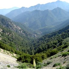
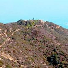
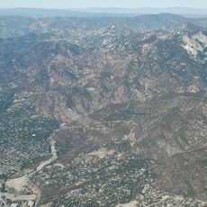
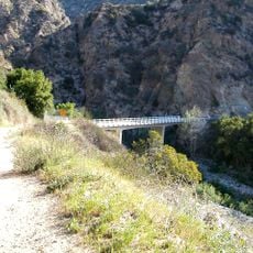
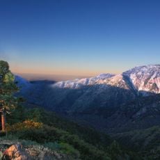
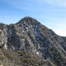
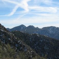
The Gabrielino Trail is a hiking route in Angeles National Forest that stretches roughly 28 miles from Altadena to Chantry Flat. The path crosses varied landscapes with significant elevation changes and offers several access points throughout its length.
The trail was designated as a National Recreation Trail in 1970 to connect urban residents with the natural environment of Angeles National Forest. This recognition protected the historic route and made it accessible to modern visitors seeking mountain access.
The trail follows routes that the Gabrielino people used for thousands of years to connect settlements across the mountains. Walking it today lets you follow the same path these communities relied on to move between valleys.
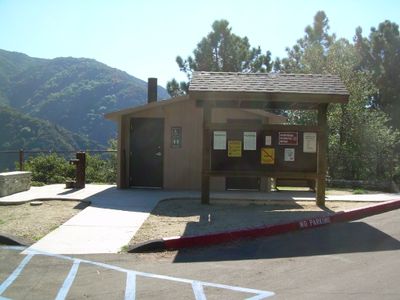
You can access the trail at several points, especially around Switzer or Chantry Flat, which serve as good starting points for hikes of different lengths. Water sources are available at certain rest areas, so check your planned route beforehand.
The route passes by Sturtevant Falls and cuts through a tent camp area before reaching the West Fork of San Gabriel River. These less known sections reveal hidden waterfalls and add unexpected variety to the experience.
The community of curious travelers
AroundUs brings together thousands of curated places, local tips, and hidden gems, enriched daily by 60,000 contributors worldwide.