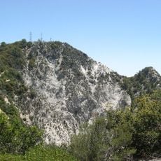
Echo Mountain, Mountain summit in San Gabriel Mountains, California.
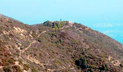
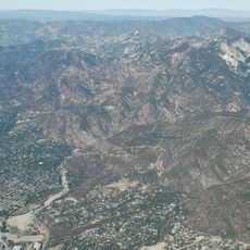
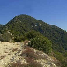
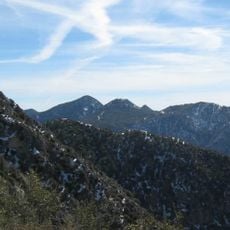
Echo Mountain is a summit in the San Gabriel Mountains above Altadena, in Southern California, reachable by steep trails running through Rubio and Las Flores canyons inside Angeles National Forest. The peak sits on an open rocky platform surrounded by chaparral scrub, with views across the valley that stretch toward distant ridges on clear days.
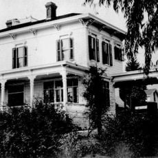
In the 1890s, a Victorian resort called White City was built near the summit and served by the Mount Lowe Railway, a cable incline that carried visitors up the slope. The operation was abandoned after a few years and the structures gradually fell apart, leaving behind only foundations and scattered remnants.
The name comes from the natural echo that forms in Castle Canyon below, and visitors still call out today to test it. The effect is easy to notice from the summit and gives the place a character that sets it apart from other peaks in the area.
The main trail begins at the end of Lake Avenue in Altadena and climbs through switchbacks with steep sections, so solid footwear and a reasonable level of fitness are needed. Starting early in the day is a good idea, particularly in summer, to avoid the worst heat and allow enough daylight for the return.
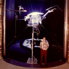
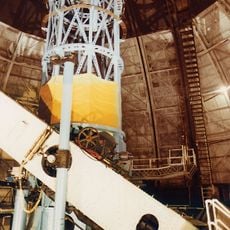
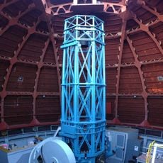
A historical telescope remains on the summit, left over from the resort era and still standing in its original position. It is one of the few objects from that period still in place, giving a direct sense of how the site once functioned as a destination for leisure.
The community of curious travelers
AroundUs brings together thousands of curated places, local tips, and hidden gems, enriched daily by 60,000 contributors worldwide.