Ensenada Municipality
Ensenada Municipality, Coastal administrative division in Baja California, Mexico
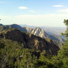
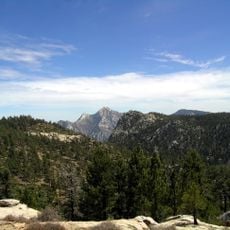
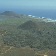
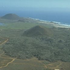
Ensenada Municipality is a coastal administrative division in Baja California that stretches along the Pacific shoreline. Mountains rise inland while the port and fishing docks line the waterfront, creating a landscape shaped by the sea and maritime activity.
A small settlement took root here in the late 1880s and gradually developed into a major port community. Growth followed as maritime infrastructure expanded and commerce with other regions intensified.
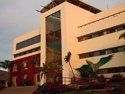
Local institutions actively promote scientific research through multiple centers dedicated to marine biology, astronomy, and agricultural biotechnology studies.
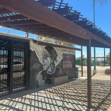
The waterfront zone is where most visitor services are located, including restaurants, shops, and boat tours. This central area is easy to walk around and serves as the hub for exploring the region's maritime character.
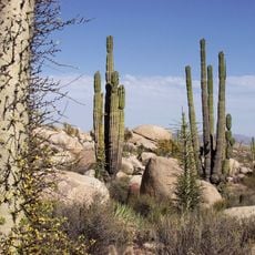
The coastal hills south of the city receive minimal rainfall, which is unusual for Pacific Mexico. This dry climate has made wine farming in the nearby valleys a regional specialty that surprises many visitors.
Location: Baja California
Inception: December 29, 1953
Capital city: Ensenada
Shares border with: Playas de Rosarito, Tijuana, Tecate, Mexicali Municipality, Baja California Sur
Website: http://ensenada.gob.mx
GPS coordinates: 31.51900,-116.00500
Latest update: December 23, 2025 09:40
Sierra de San Pedro Mártir National Park
83.5 km
National Astronomical Observatory of San Pedro Mártir
73.8 km
Valle de los Cirios
184 km
Picacho del Diablo
84.1 km
Constitution 1857 National Park
55.3 km
Bahía de San Quintín
120.9 kmPuerto Salina
102.4 km
San Quintín Volcanic Field
116.8 km
Guadalupe Canyon Hot Springs
74.6 kmValle Chico Hot Springs
123.3 kmRussian Valley Hot Springs
78.1 km
Colonia La Puerta
110.3 km
Juan Garcia Aldama Community Museum
96.7 kmCanyon de Doña Petra
71.3 kmCañón El Tajo
80.3 km
La Lobera
158.1 kmVolcan Ceniza
119.5 kmIslas San Benito Lighthouse
359.9 kmCañón Dolores
8.9 kmCañón de Enmedio
102.7 kmCañón La Piedra
114 kmCañón del Rosario
152.5 kmCañón de Agua Chiquita
110.5 kmCañón Caitamul
72.2 kmMonumento a Colón en la Riviera de Ensenada
69.3 kmCañón Hondo
147.6 kmCañón de las Cruces
57.7 kmCañada San Juan
46.6 kmVisited this place? Tap the stars to rate it and share your experience / photos with the community! Try now! You can cancel it anytime.
Discover hidden gems everywhere you go!
From secret cafés to breathtaking viewpoints, skip the crowded tourist spots and find places that match your style. Our app makes it easy with voice search, smart filtering, route optimization, and insider tips from travelers worldwide. Download now for the complete mobile experience.
A unique approach to discovering new places❞
— Le Figaro
All the places worth exploring❞
— France Info
A tailor-made excursion in just a few clicks❞
— 20 Minutes