Hassayampa River Canyon Wilderness, widerness area in Arizona
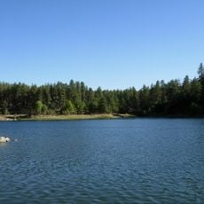
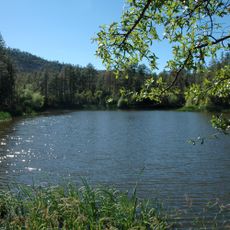
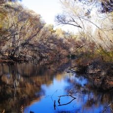
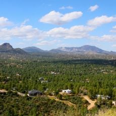
Hassayampa River Canyon Wilderness is a protected area covering more than 11,800 acres in Arizona, located about 8 miles northeast of Wickenburg. The land features deep canyons, high uplands, and year-round flowing water that supports lush vegetation including saguaro cacti, palo verde trees, and chaparral bushes.
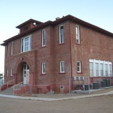
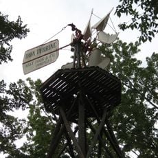
The area was officially designated as protected land in 1990 through the Arizona Desert Wilderness Act and added to the US Wilderness System. The region has a long history of mining activity, with some claims remaining active today and traces of this early economic pursuit still visible on the land.
The name Hassayampa comes from the O'odham language and refers to the water flowing through this place. The area carries meaning for those seeking solitude and a direct connection to the desert and river landscape that defines daily life here.
Access is from Wickenburg via Constellation Road but requires permission to cross private land and a high-clearance or four-wheel-drive vehicle. Bring water, a paper map, a GPS device, and weather-appropriate clothing, as temperatures range from about 2 degrees Celsius in winter to over 37 degrees in summer.
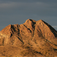
Sam Powell Peak rises to about 1,223 meters (4,015 feet) and offers views of an unusual rock formation called The Needle, a distinctive tall monolith that stands out from the surrounding terrain. Water flows year-round through the canyon, an uncommon feature in this dry region that receives around 200 millimeters (8 inches) of rain annually.
The community of curious travelers
AroundUs brings together thousands of curated places, local tips, and hidden gems, enriched daily by 60,000 contributors worldwide.