
Queen Valley, census-designated place in Pinal County, Arizona
Location: Pinal County
Elevation above the sea: 621 m
GPS coordinates: 33.29500,-111.29800
Latest update: April 15, 2025 21:31
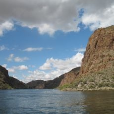
Canyon Lake
30.5 km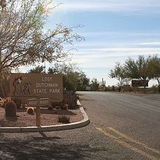
Lost Dutchman State Park
24.5 km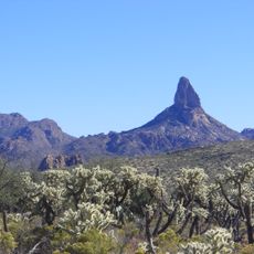
Weaver's Needle
16.8 km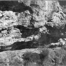
Skeleton Cave
32.5 km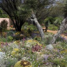
Boyce Thompson Arboretum
13.1 km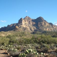
Picketpost Mountain
13.7 km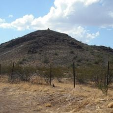
Poston Butte
28.6 km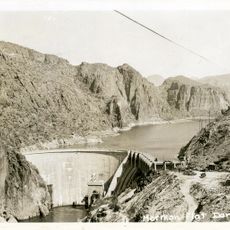
Mormon Flat Dam
31.8 km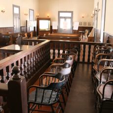
McFarland State Historic Park
30 km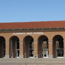
Florence High School
31.5 km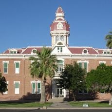
Second Pinal County Courthouse
30.4 km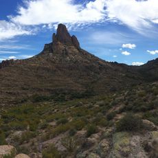
Peralta Canyon
11.1 km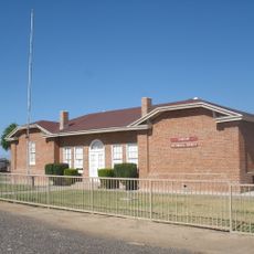
Rittenhouse Elementary School
31.5 km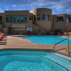
Gold Canyon Golf Resort
16.3 km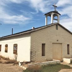
Our Lady of Guadalupe Church
32.2 km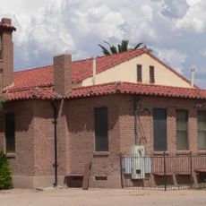
First Presbyterian Church of Florence
30.5 km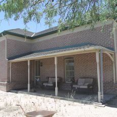
Harvey-Niemeyer House
30.7 km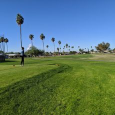
Desert Sands Golf Course
36.2 km
Sunland Springs Golf
28.7 km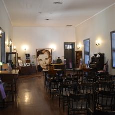
McFarland State Historic Park
30 km
The Golf Club at Johnson Ranch
29.2 km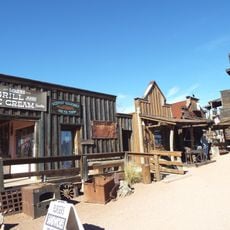
Goldfield Ghost Town
25.3 km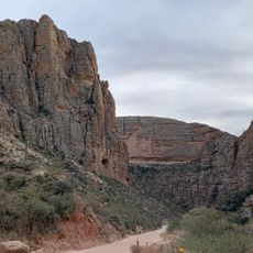
Apache Trail
27.2 km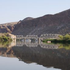
Boulder Creek Bridge
29 km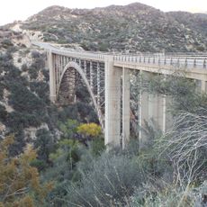
Pinto Creek Bridge
32.7 km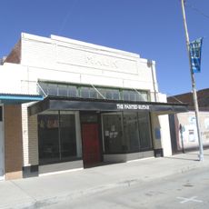
Isis Theatre
30.1 km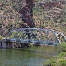
Mormon Flat Bridge
30.3 km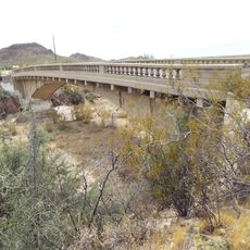
Queen Creek Bridge
3 kmReviews
Visited this place? Tap the stars to rate it and share your experience / photos with the community! Try now! You can cancel it anytime.
Discover hidden gems everywhere you go!
From secret cafés to breathtaking viewpoints, skip the crowded tourist spots and find places that match your style. Our app makes it easy with voice search, smart filtering, route optimization, and insider tips from travelers worldwide. Download now for the complete mobile experience.

A unique approach to discovering new places❞
— Le Figaro
All the places worth exploring❞
— France Info
A tailor-made excursion in just a few clicks❞
— 20 Minutes