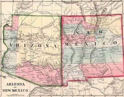
Arizona Territory, Former territory of the United States in southwestern North America
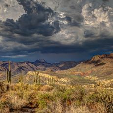
This region covered desert basins, plateaus, and mountain ranges between New Mexico and California. Its boundaries ran from the Colorado River in the north to the Mexican border in the south.
Congress created the region in February 1863 during the Civil War by splitting off the western portion of New Mexico Territory. The area remained under territorial governance until February 1912, when it joined the Union as the 48th state.
Native American tribes, including the Navajo, Hopi, and Apache nations, maintained their settlements and traditions throughout the territorial period.
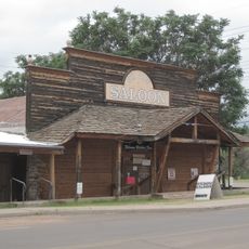
The capital shifted several times among Fort Whipple, Prescott, and Tucson before settling permanently in Phoenix in 1889. These moves reflected changing economic and political priorities during the territorial years.
Mining camps, cattle ranches, and railroad construction transformed a sparsely populated area of fewer than 10,000 people in 1870 into a region of more than 200,000 residents by 1910. This rapid growth eventually led to statehood.
The community of curious travelers
AroundUs brings together thousands of curated places, local tips, and hidden gems, enriched daily by 60,000 contributors worldwide.