Sierra Ancha Wilderness, Protected wilderness area in Tonto National Forest, Arizona.
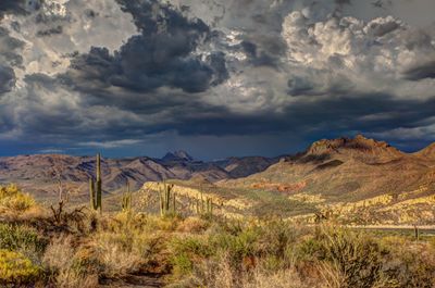
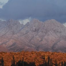
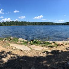
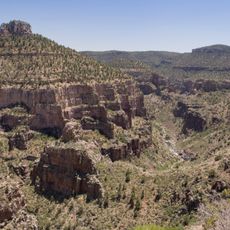
Sierra Ancha Wilderness is a protected area within Tonto National Forest featuring deep canyons, steep cliff faces, and thick pine forests. The landscape varies significantly in elevation and includes several creeks and natural water features that sustain the ecosystem.
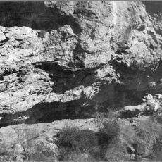
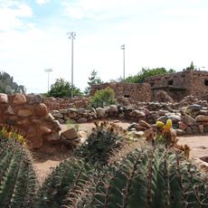
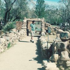
The wilderness was designated as a protected Primitive Area in 1933 to preserve its natural character. The site contains evidence of indigenous habitation through stone structures and cliff dwellings built using traditional materials.
The area holds meaning for people interested in the Old West and frontier conflicts that shaped Arizona's history. Today, visitors connect with this past through the land itself, which carries the memory of those who lived here.
The wilderness offers a network of trails suitable for day hikes and overnight trips with backcountry camping options. Plan ahead and bring your own water supply, as natural sources can be unpredictable or distant from main routes.
The wilderness contains Devil's Chasm ruins, an archaeological site that remains largely unknown to most visitors. Colcord Falls provides a natural swimming hole when water flow is sufficient, offering an unexpected cool respite in this remote terrain.
The community of curious travelers
AroundUs brings together thousands of curated places, local tips, and hidden gems, enriched daily by 60,000 contributors worldwide.