Enable Location

We need your location to show you interesting places around you

Discover nearby places

Find interesting locations and hidden gems around you

Precise directions

Get accurate directions and distances to places

Your location is never shared with other users. It's only used when you tap the location button.

Culberson County

Log in to your account

Start exploring — it's free

Trusted by 62,488 travelers worldwide

Continue with Google
Continue with Apple
or

We will send you a code to connect

By continuing, you accept our Terms and Conditions and our Privacy Policy

Check your inbox

We've sent a pincode in your inbox. Please enter the code below.

Culberson County, Administrative division in West Texas, United States

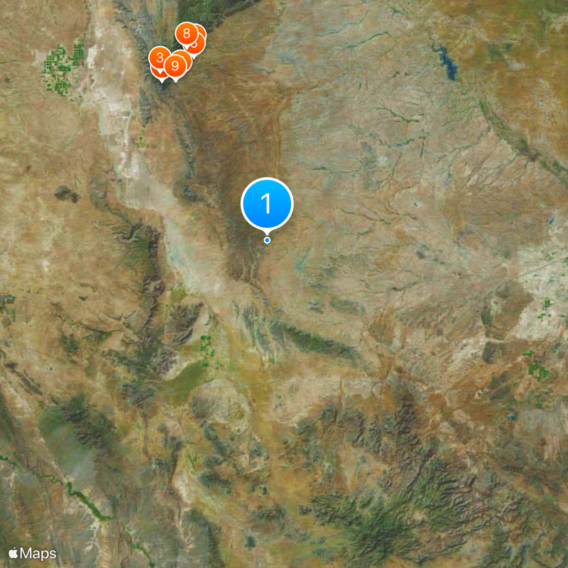
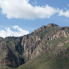
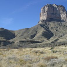
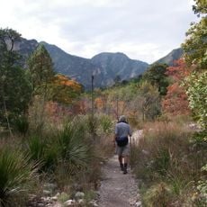
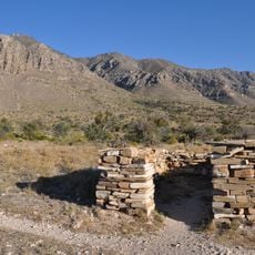
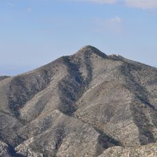
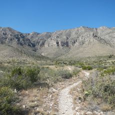
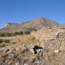
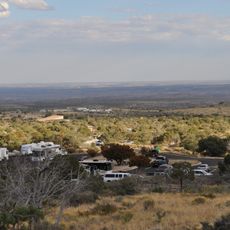
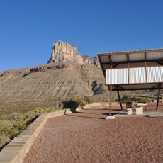
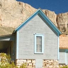
Culberson County is an administrative division in West Texas that covers expansive terrain with varied landscapes. Its northwestern section includes parts of Guadalupe Mountains National Park, where mountain ranges meet desert plains.

This county was established in 1911 and named after David B. Culberson, a soldier from the Civil War era. Railroad construction through the region brought significant economic changes and settlement growth.

The county population of 2,188 residents maintains strong Hispanic heritage, with over 75 percent of inhabitants identifying as Hispanic or Latino.

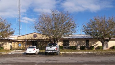
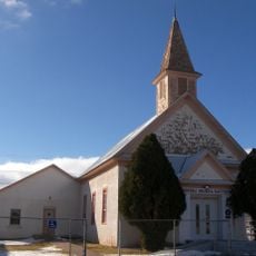
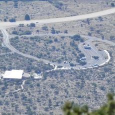
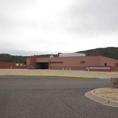
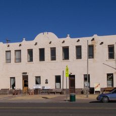
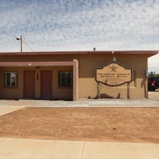
The county administration in Van Horn handles public records and documentation for residents. Visitors seeking official paperwork should contact local offices and check their operating hours.

This territory spans two different time zones, with most of it following Central Time while the northwestern section observes Mountain Time. This division creates an unusual geographic and temporal characteristic for the area.

The community of curious travelers

AroundUs brings together thousands of curated places, local tips, and hidden gems, enriched daily by 60,000 contributors worldwide.

Start exploring
Location
Inception
1912
Capital city
Van Horn
Shares border with
Hudspeth County, Reeves County, Eddy County, Jeff Davis County, Otero County
GPS coordinates
31.45000,-104.52000
Latest update
December 20, 2025 12:21
Around this place
Guadalupe Peak
United States of America

Guadalupe Peak

58.8 km
Guadalupe Mountains National Park
United States of America

Guadalupe Mountains National Park

61.5 km
McKittrick Canyon
United States of America

McKittrick Canyon

63 km
United States of America

Butterfield Overland Mail in Texas

56.8 km
Wallace E. Pratt House
United States of America

Wallace E. Pratt House

60.9 km
Frijole Ranch
United States of America

Frijole Ranch

57.4 km
Wallace Pratt Lodge
United States of America

Wallace Pratt Lodge

64.3 km
Pinery Station
United States of America

Pinery Station

56.9 km
First Presbyterian Church
United States of America

First Presbyterian Church

54.3 km
Guadalupe Mountains Wilderness
United States of America

Guadalupe Mountains Wilderness

63.9 km
Smith Spring Trail
United States of America

Smith Spring Trail

58.6 km
United States of America

Permian Reef Trail

64.3 km
Butterfield Overland Mail Corridor
United States of America

Butterfield Overland Mail Corridor

56.9 km
Pine Springs Visitor Center
United States of America

Pine Springs Visitor Center

57.1 km
Frank N. Bash Visitors Center
United States of America

Frank N. Bash Visitors Center

97.9 km
United States of America

Red Point

42.5 km
Clark Hotel
United States of America

Clark Hotel

54.4 km
Pine Springs Trailhead
United States of America

Pine Springs Trailhead

57.7 km
United States of America

Sierra Diablo Wildlife Management Area

38.1 km
United States of America

Diablo Rim

36.5 km
El Capitan Lookout
United States of America

El Capitan Lookout

54.5 km
Frijole Ranch Picnic Area
United States of America

Frijole Ranch Picnic Area

57.4 km
Devils Hall
United States of America

Devils Hall

59.6 km
Williams Ranch
United States of America

Williams Ranch

59.3 km
Original Culberson County Jail
United States of America

Original Culberson County Jail

54 km
Rebecca Gale Telescope Park Amphitheater
United States of America

Rebecca Gale Telescope Park Amphitheater

98 km
United States of America

Presbyterian Church, U.S. 1092

53.6 km
United States of America

Ruins across from Culberson County Courthouse

54.1 km
Show the full map
« Culberson County - Administrative division in West Texas, United States » is provided by Around Us (aroundus.com). Images and texts are derived from Wikimedia project under a Creative Commons license. You are allowed to copy, distribute, and modify copies of this page, under the conditions set by the license, as long as this note is clearly visible.

Discover hidden gems everywhere you go!

From secret cafés to breathtaking viewpoints, skip the crowded tourist spots and find places that match your style. Our app makes it easy with voice search, smart filtering, route optimization, and insider tips from travelers worldwide. Download now for the complete mobile experience.

Around Us App Screenshot

A unique approach to discovering new places

Le Figaro

All the places worth exploring

France Info

A tailor-made excursion in just a few clicks

20 Minutes

Around Us
Travel Guide & Maps
Download

Send to your phone

QR Code
1

Open the camera app on your mobile.

2

Point at the QR code with your camera. A notification will appear.

3

Tap the notification to open the link.