Chest opened
+${chestReward.xp} XP
Explorer
NOUVEAU ×${chestReward.collectible.quantity}
tapez pour fermer

See the monuments around you in AR Open chests in the app

Around Us is built for your phone — point your camera at the streets and discover the monuments and places around you in augmented reality. Around Us is built for your phone — chests unlock when you walk, explore and capture nearby places.

•

Enable Location

We need your location to show you interesting places around you

Discover nearby places

Find interesting locations and hidden gems around you

Precise directions

Get accurate directions and distances to places

Your location is never shared with other users. It's only used when you tap the location button.

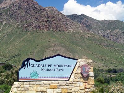
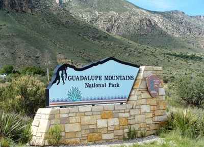
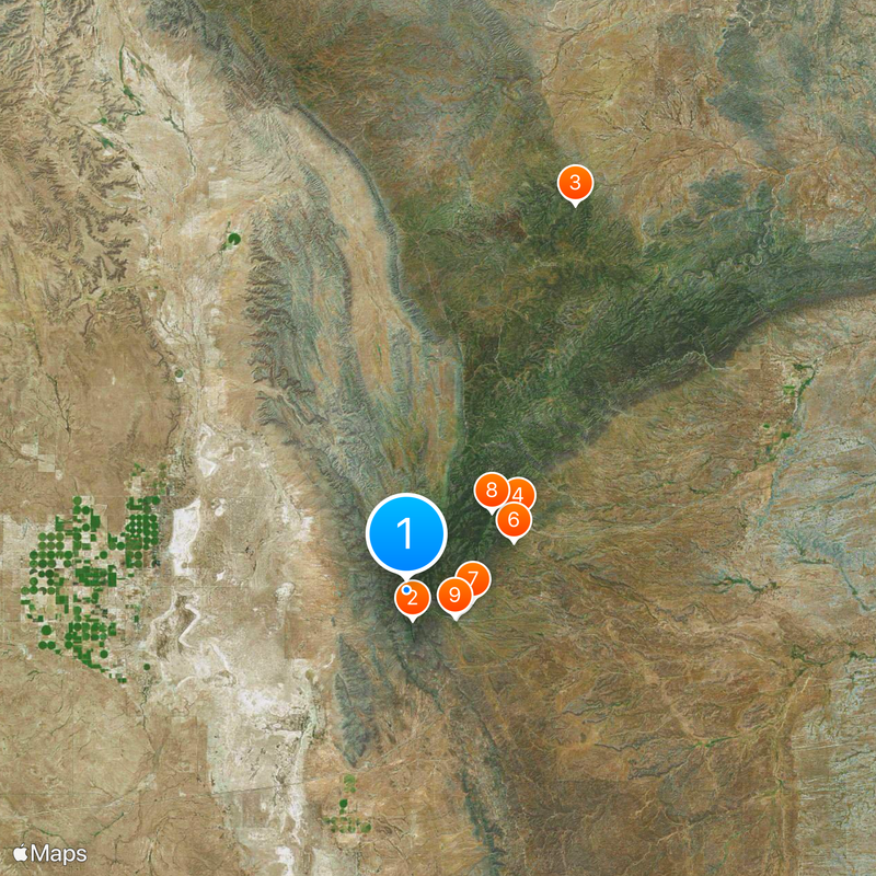
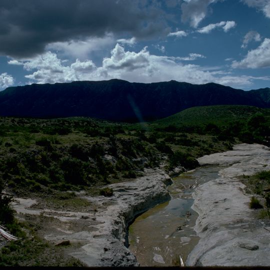
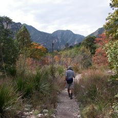
Guadalupe Mountains National Park

Log in to your account

Start exploring — it's free

Trusted by 89,900 travelers worldwide

Continue with Google
Continue with Apple
or

We will send you a code to connect

By continuing, you accept our Terms and Conditions and our Privacy Policy

Check your inbox

We've sent a pincode in your inbox. Please enter the code below.

Discussion Reviews 9 Photos
58.5k Popularity

Guadalupe Mountains National Park, National park in western Texas, United States

Audio guide · About one minute
Preparing your audio guide… The audio guide could not be loaded, please retry.Sign in to listen to the audio guide

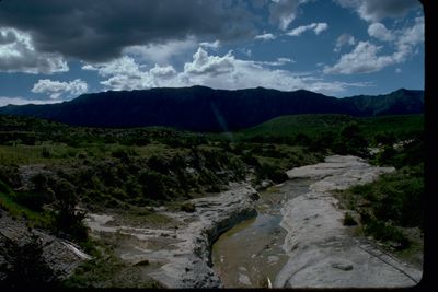
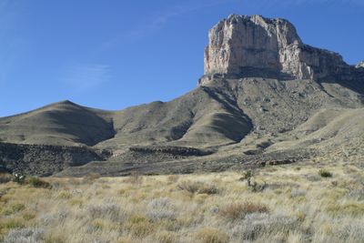
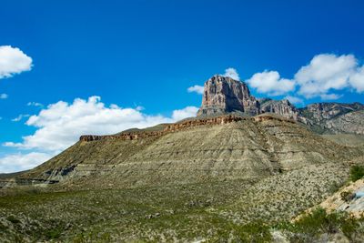
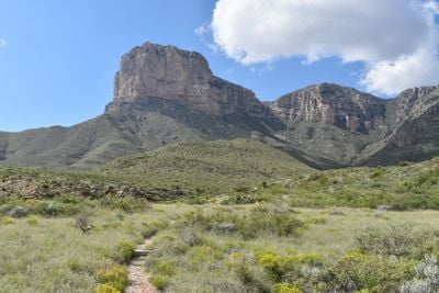
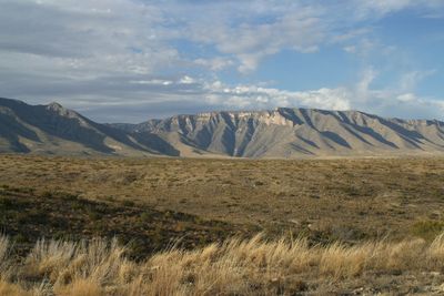
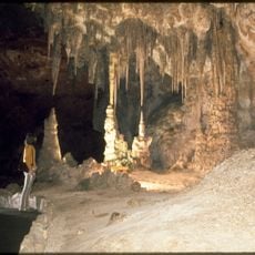
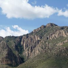
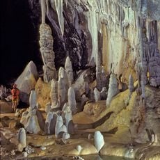
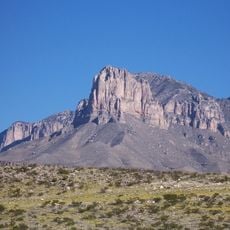
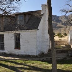
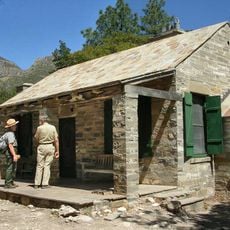
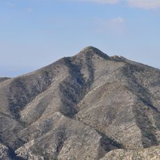
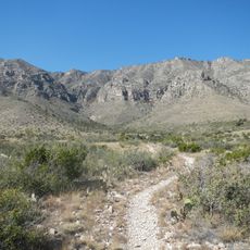
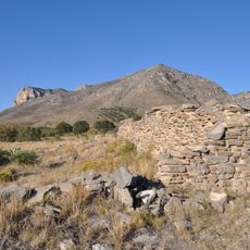
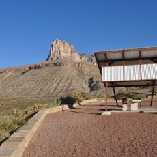
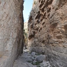
Guadalupe Mountains is a national park in western Texas, near the border with New Mexico, covering rugged limestone peaks and deep canyons. The park spans several elevation zones, from dry desert to forested high country with conifer trees.

The mountains served as a last stronghold for Apache groups in the 19th century, until they were forced out in the 1880s. The current park was established in 1972, after ranchers and mining companies had used the land for decades.

The park lies in the territory of the Mescalero Apache, who used these mountains as a refuge for centuries. Visitors today can still find rock shelters and pictographs that show this long occupation.

Most trails in the park are steep and exposed to sun, so hikers should start early in the morning. Water is available only at a few spots, so every visitor must carry enough supplies.

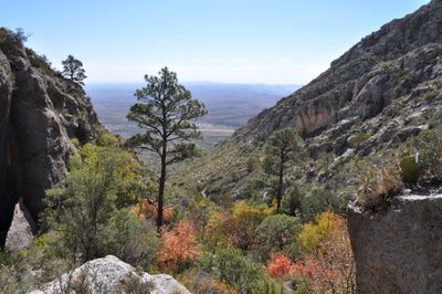
The mountains protect an island of plants and animals normally found only at higher latitudes. Spruce and fir trees grow here on ridges, while just a few meters below cacti and desert shrubs thrive.

The community of curious travelers

AroundUs brings together thousands of curated places, local tips, and hidden gems, enriched daily by 60,000 contributors worldwide.
Start exploring
Location
Inception
September 30, 1972
Operator
National Park Service
Address
Pine Canyon
Phone
GPS coordinates
31.90679,-104.86827
Latest update
September 16, 2026 19:00
Around this place
Carlsbad Caverns National Park
United States of America

Carlsbad Caverns National Park

24.8 mi
Guadalupe Peak
United States of America

Guadalupe Peak

1.2 mi
Lechuguilla Cave
United States of America

Lechuguilla Cave

29 mi
El Capitan
United States of America

El Capitan

2.1 mi
Sitting Bull Falls
United States of America

Sitting Bull Falls

25.5 mi
McKittrick Canyon
United States of America

McKittrick Canyon

8.3 mi
Rattlesnake Springs Historic District
United States of America

Rattlesnake Springs Historic District

27.4 mi
Wallace E. Pratt House
United States of America

Wallace E. Pratt House

7.3 mi
Frijole Ranch
United States of America

Frijole Ranch

4 mi
Wallace Pratt Lodge
United States of America

Wallace Pratt Lodge

7.4 mi
Guadalupe Mountains Wilderness
United States of America

Guadalupe Mountains Wilderness

3.3 mi
Smith Spring Trail
United States of America

Smith Spring Trail

3.9 mi
United States of America

Permian Reef Trail

9.2 mi
Butterfield Overland Mail Corridor
United States of America

Butterfield Overland Mail Corridor

3.2 mi
Rattlesnake Springs Pump House
United States of America

Rattlesnake Springs Pump House

27.2 mi
Pine Springs Visitor Center
United States of America

Pine Springs Visitor Center

2.9 mi
United States of America

Cottonwood Wildlife Viewing Platform

26.9 mi
Pine Springs Trailhead
United States of America

Pine Springs Trailhead

2.5 mi
United States of America

Rattlesnake Canyon Overlook

27.9 mi
Devils Hall
United States of America

Devils Hall

1.2 mi
Frijole Ranch Picnic Area
United States of America

Frijole Ranch Picnic Area

3.9 mi
El Capitan Lookout
United States of America

El Capitan Lookout

3.9 mi
Williams Ranch
United States of America

Williams Ranch

1.9 mi
Cottonwood Day Use Area
United States of America

Cottonwood Day Use Area

26.8 mi
United States of America

Salt Basin Overlook

2.9 mi
United States of America

Scenic viewpoint

1.3 mi
United States of America

Waterfall

25.4 mi
United States of America

Waterfall

25.4 mi
Show the full map
Reviews
Share your experience

No review yet

Discussions
Start a discussion...

No discussion yet

« Guadalupe Mountains National Park - National park in western Texas, United States » is provided by Around Us (aroundus.com). Images and texts are derived from Wikimedia project under a Creative Commons license. You are allowed to copy, distribute, and modify copies of this page, under the conditions set by the license, as long as this note is clearly visible.

Discover hidden gems everywhere you go!

From secret cafés to breathtaking viewpoints, skip the crowded tourist spots and find places that match your style. Our app makes it easy with voice search, smart filtering, route optimization, and insider tips from travelers worldwide. Download now for the complete mobile experience.
Around Us App Screenshot
❝

A unique approach to discovering new places❞

— Le Figaro

❝

All the places worth exploring❞

— France Info

❝

A tailor-made excursion in just a few clicks❞

— 20 Minutes

Around Us
Travel Guide & Maps
Download

Send to your phone

QR Code
1

Open the camera app on your mobile.

2

Point at the QR code with your camera. A notification will appear.

3

Tap the notification to open the link.