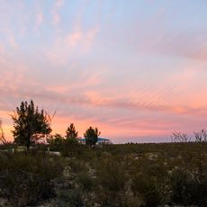
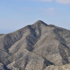
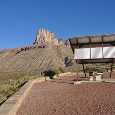
McKittrick Canyon, Natural canyon in Guadalupe Mountains, United States.
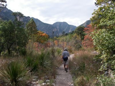
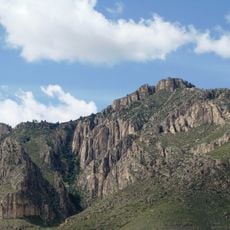
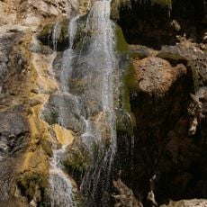
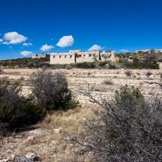
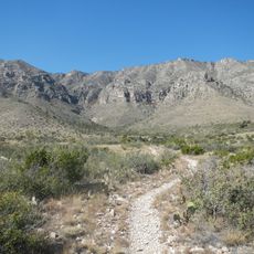
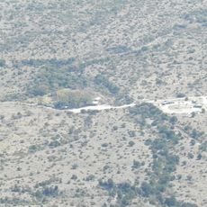
McKittrick Canyon is a canyon located within Guadalupe Mountains National Park in far west Texas. A stream runs along the canyon floor throughout the year, making it one of the few places in this desert region where water flows permanently.
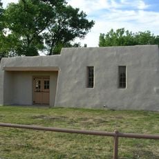
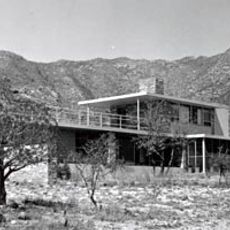
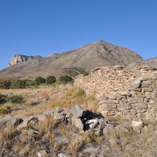
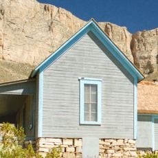
The land was owned in the early 20th century by an oil geologist named Wallace Pratt, who built a cabin and spent years living near the canyon. He eventually donated his holdings to the federal government, which led directly to the creation of Guadalupe Mountains National Park in 1972.
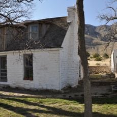
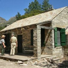
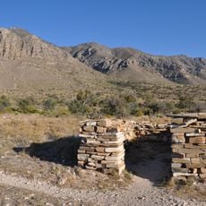
The name McKittrick comes from an early settler who camped in the area during the 19th century, long before it became protected land. Visitors can still see the stone cabin built in the 1920s by the rancher who later donated the land, standing quietly near the stream.
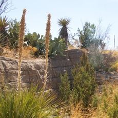
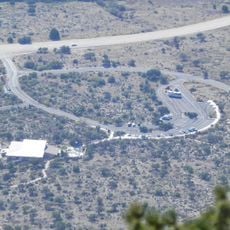
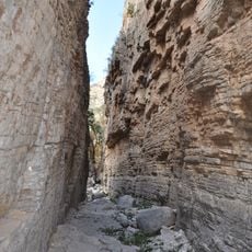
The canyon is accessed from a trailhead parking area where marked paths follow the stream into the canyon. The terrain is moderate but exposed, so starting early in the morning helps avoid the strongest heat of the day.
The canyon is one of the few places in Texas where bigtooth maple trees grow, and every October their leaves turn red and orange in a region where most trees do not change color. This draws visitors from across the state who come specifically to see fall foliage in what is otherwise a dry desert landscape.
The community of curious travelers
AroundUs brings together thousands of curated places, local tips, and hidden gems, enriched daily by 60,000 contributors worldwide.