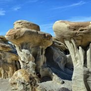
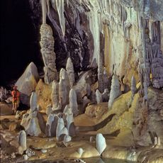
Carlsbad Caverns National Park, Underground limestone cave system in Eddy County, New Mexico.
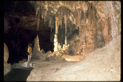
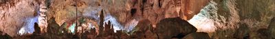
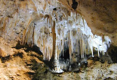
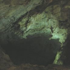
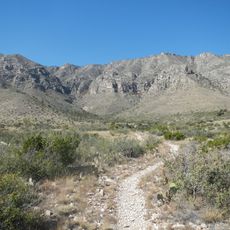
Carlsbad Caverns is a limestone cave system beneath the desert in Eddy County, New Mexico. The main cave runs through several levels with chambers connected by natural openings and constructed pathways.
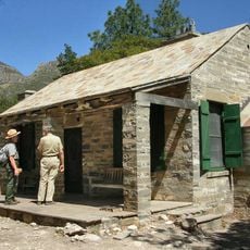
A cowboy named Jim White explored the caves in the late 19th century and shared his discovery with researchers. The government protected the area in 1930, turning it into a national park.
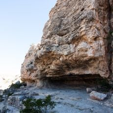
The name honors Charles IV of Bohemia, brought to the region by early German settlers. Visitors today see formations that grew over thousands of years, revealed through lighting that shows how water shaped the rock.
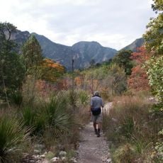
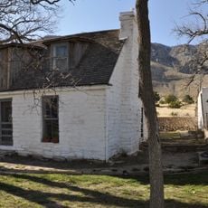
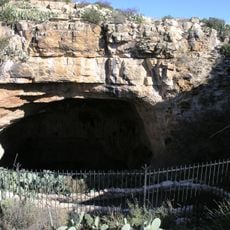
The natural entrance follows a steep path downward, while an elevator offers quicker access. Warm clothing helps, as the temperature inside stays cool throughout the year.
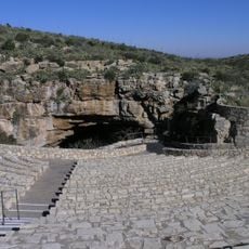
Every summer, hundreds of thousands of bats leave the cave at sunset in a spiraling cloud. Visitors can watch this from an amphitheater near the entrance.
The community of curious travelers
AroundUs brings together thousands of curated places, local tips, and hidden gems, enriched daily by 60,000 contributors worldwide.