Chest opened
+${chestReward.xp} XP
Explorer
NOUVEAU ×${chestReward.collectible.quantity}
tapez pour fermer

See the monuments around you in AR Open chests in the app

Around Us is built for your phone — point your camera at the streets and discover the monuments and places around you in augmented reality. Around Us is built for your phone — chests unlock when you walk, explore and capture nearby places.

Enable Location

We need your location to show you interesting places around you

Discover nearby places

Find interesting locations and hidden gems around you

Precise directions

Get accurate directions and distances to places

Your location is never shared with other users. It's only used when you tap the location button.

Sitting Bull Falls

Log in to your account

Start exploring — it's free

Trusted by 85,047 travelers worldwide

Continue with Google
Continue with Apple
or

We will send you a code to connect

By continuing, you accept our Terms and Conditions and our Privacy Policy

Check your inbox

We've sent a pincode in your inbox. Please enter the code below.

Sitting Bull Falls
Discussion Reviews 1 Photos
13.7k Popularity

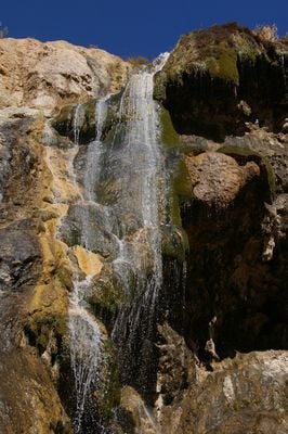
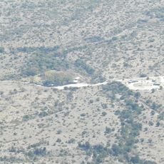
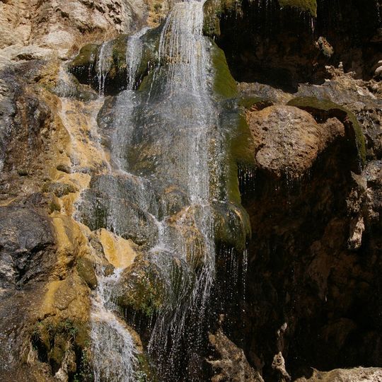
Sitting Bull Falls, Natural waterfall in Lincoln National Forest, New Mexico

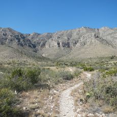
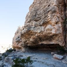
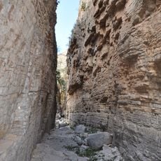
Sitting Bull Falls is a waterfall in Lincoln National Forest where multiple streams cascade over limestone formations. The water drops about 150 feet (45 meters) in a series of cascades that flow into the canyon below.

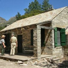
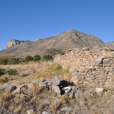
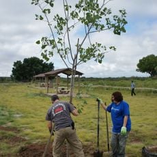
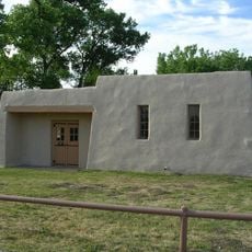
The Civilian Conservation Corps built stone structures near the falls in 1940. This work opened the site for public use and turned it into a recreation area.

The Apache people called this location gostahanagunti, meaning hidden gulch in their language. The name reflects how the place remained concealed from most visitors for generations.

A paved pathway leads from the parking area to the falls, making it easy to reach. There are designated swimming and wading spots where you can safely enjoy the water.

The water originates from springs above the falls but then disappears into the rocks. It reappears as part of the underground water system of Pecos Valley, continuing its journey beneath the surface.

The community of curious travelers

AroundUs brings together thousands of curated places, local tips, and hidden gems, enriched daily by 60,000 contributors worldwide.
Start exploring
Location
Elevation above the sea
1,524 m
GPS coordinates
32.24530,-104.69600
Latest update
August 29, 2026 21:32
Around this place
Carlsbad Caverns National Park
United States of America

Carlsbad Caverns National Park

13.1 mi
Guadalupe Peak
United States of America

Guadalupe Peak

26.3 mi
Lechuguilla Cave
United States of America

Lechuguilla Cave

11.9 mi
McKittrick Canyon
United States of America

McKittrick Canyon

18.7 mi
Living Desert Zoo and Gardens State Park
United States of America

Living Desert Zoo and Gardens State Park

28 mi
Brantley Lake State Park
United States of America

Brantley Lake State Park

27.9 mi
Rattlesnake Springs Historic District
United States of America

Rattlesnake Springs Historic District

16.3 mi
Wallace E. Pratt House
United States of America

Wallace E. Pratt House

20.2 mi
The Caverns Historic District
United States of America

The Caverns Historic District

15.6 mi
Frijole Ranch
United States of America

Frijole Ranch

24.1 mi
Wallace Pratt Lodge
United States of America

Wallace Pratt Lodge

18.8 mi
Pinery Station
United States of America

Pinery Station

25.3 mi
Carlsbad Water Park
United States of America

Carlsbad Water Park

30.5 mi
Bat Flight Amphitheater
United States of America

Bat Flight Amphitheater

15.6 mi
Carlsbad Cavern
United States of America

Carlsbad Cavern

15.7 mi
Guadalupe Mountains Wilderness
United States of America

Guadalupe Mountains Wilderness

22.2 mi
Smith Spring Trail
United States of America

Smith Spring Trail

23.5 mi
Indian Rock Shelter
United States of America

Indian Rock Shelter

16.6 mi
Butterfield Overland Mail Corridor
United States of America

Butterfield Overland Mail Corridor

25.3 mi
Rattlesnake Springs Pump House
United States of America

Rattlesnake Springs Pump House

16.1 mi
Pine Springs Visitor Center
United States of America

Pine Springs Visitor Center

25.4 mi
Pine Springs Trailhead
United States of America

Pine Springs Trailhead

25.3 mi
Eddy County Courthouse
United States of America

Eddy County Courthouse

29.9 mi
El Capitan Lookout
United States of America

El Capitan Lookout

28.4 mi
Devils Hall
United States of America

Devils Hall

25 mi
Frijole Ranch Picnic Area
United States of America

Frijole Ranch Picnic Area

24.3 mi
Williams Ranch
United States of America

Williams Ranch

27.4 mi
Natural Entrance
United States of America

Natural Entrance

15.7 mi
Show the full map
Reviews
Share your experience

No review yet

Discussions
Start a discussion...

No discussion yet

« Sitting Bull Falls - Natural waterfall in Lincoln National Forest, New Mexico » is provided by Around Us (aroundus.com). Images and texts are derived from Wikimedia project under a Creative Commons license. You are allowed to copy, distribute, and modify copies of this page, under the conditions set by the license, as long as this note is clearly visible.

Discover hidden gems everywhere you go!

From secret cafés to breathtaking viewpoints, skip the crowded tourist spots and find places that match your style. Our app makes it easy with voice search, smart filtering, route optimization, and insider tips from travelers worldwide. Download now for the complete mobile experience.

Around Us App Screenshot

A unique approach to discovering new places

Le Figaro

All the places worth exploring

France Info

A tailor-made excursion in just a few clicks

20 Minutes

Around Us
Travel Guide & Maps
Download

Send to your phone

QR Code
1

Open the camera app on your mobile.

2

Point at the QR code with your camera. A notification will appear.

3

Tap the notification to open the link.