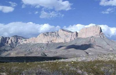
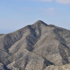
Guadalupe Peak, Mountain summit in Guadalupe Mountains National Park, Texas, US
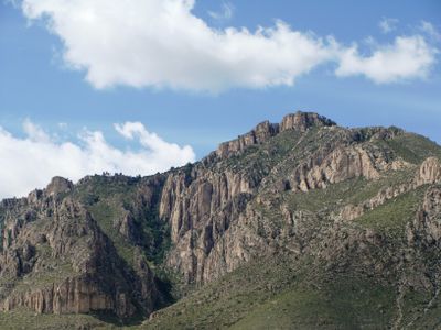
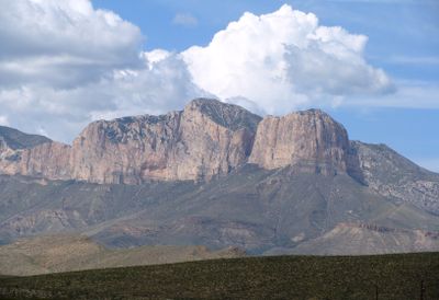
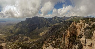
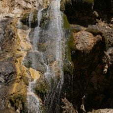
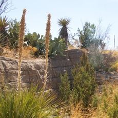
Guadalupe Peak is a mountain summit in Guadalupe Mountains National Park in West Texas that rises 2667 meters (8751 feet) above sea level. The summit offers views over the Chihuahuan Desert and the surrounding mountain ridges that extend north and south.
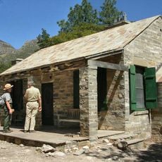
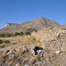
The mountain served as a navigation point for travelers along the Butterfield Overland Mail route during the 19th century western expansion of the United States. The route connected Missouri with California and carried mail and passengers through this remote region.
The summit carries an aluminum pyramid marker that American Airlines installed in 1958 to honor the importance of early transportation routes in the region. Hikers encounter the marker after their climb to the highest point in the state and often use it as a photo opportunity.
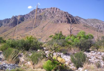
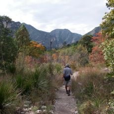
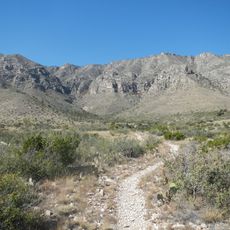
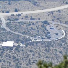
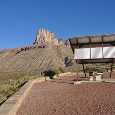
The trail to the summit begins at Pine Springs Campground and covers 13.5 kilometers (8.4 miles) round trip with an elevation change of about 914 meters (3000 feet). Most hikers need five to eight hours for the entire route and should start early in the morning to avoid afternoon weather.
Weather monitoring equipment on the summit records wind speeds reaching up to 129 kilometers per hour (80 miles per hour) during winter storms. These strong winds make the summit one of the most exposed points in the entire state and require extra caution from hikers when planning.
The community of curious travelers
AroundUs brings together thousands of curated places, local tips, and hidden gems, enriched daily by 60,000 contributors worldwide.