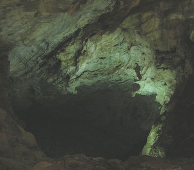
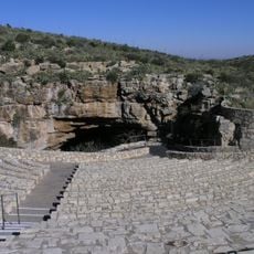
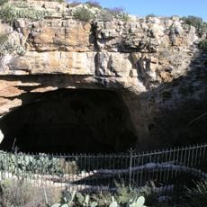
Carlsbad Cavern, Natural cave system in Guadalupe Mountains, New Mexico, US.
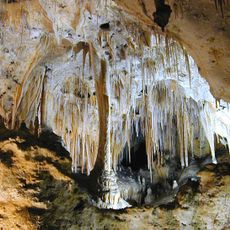
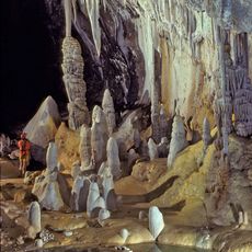
Carlsbad Cavern is a cave system in the Guadalupe Mountains featuring vast underground chambers decorated with stalactites and stalagmites. The largest room feels like a massive underground cathedral with towering formations and open passages.
The cavern was explored in the early 1900s and quickly became known to the public, leading to its development as a national attraction. It became a National Park in 1930 and has drawn visitors from around the world ever since.
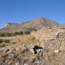
The cavern holds deep meaning for Native peoples who lived in the region, and its name reflects the Spanish colonial history of the area. Visitors today experience how this underground realm shaped human understanding of the landscape.
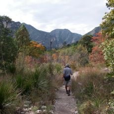
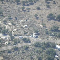
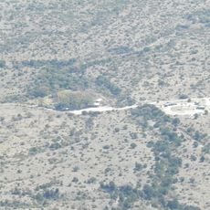
You can enter through the natural entrance or use elevators to descend into the depths, depending on your preference and fitness level. Wear comfortable shoes and bring a jacket since the temperature below stays cool year-round.
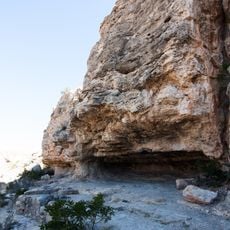
The underground chambers were carved not just by water but by a rare chemical reaction between hydrogen sulfide and groundwater that created acid. This unusual formation process makes the cavern geologically distinct from other similar systems.
The community of curious travelers
AroundUs brings together thousands of curated places, local tips, and hidden gems, enriched daily by 60,000 contributors worldwide.