Pine Springs Campground

Log in to your account

AroundUs is a community-driven map of interesting places, built by curious explorers like you. It grows with every review, story, and photo you share.
Connect to save your favorite spots, contribute locations, and create personalized routes.
Continue with Google
Continue with Apple
Continue with X
Continue with Facebook
Continue with email
By continuing, you accept our Terms and Conditions and our Privacy Policy
Create an account

Pine Springs Campground

Add to collection
Map
Suggest a change
Share

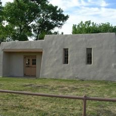
Pine Springs Campground, Campground in Guadalupe Mountains National Park, Texas

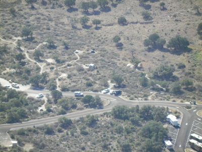
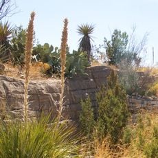
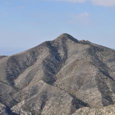
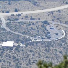
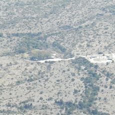
Pine Springs Campground is located at 5,730 feet elevation within Guadalupe Mountains National Park and contains 20 tent sites, 13 RV spaces, and 2 group camping areas on a paved surface. The facility includes water stations and is surrounded by mountain slopes and typical desert vegetation of the high country.

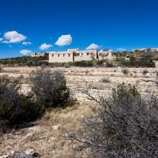
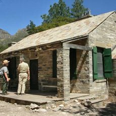
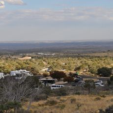
The campground was developed as a central point for accessing Guadalupe Mountains National Park following its designation in 1972 as a protected area. Since then it has served as the main launch point for visitors entering the park and its surrounding mountain terrain.

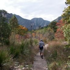
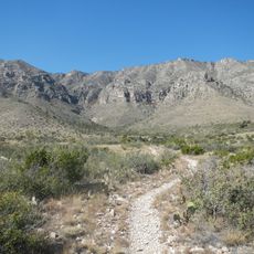
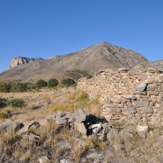
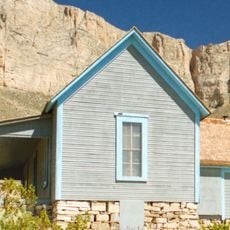
This facility serves as a base for people exploring the rugged terrain and learning about the desert landscape of the area. Visitors gather here to access trails leading into the mountains, making it a practical hub for those seeking to experience the region's natural environment.

Visitors need to bring portable fuel stoves for cooking since open fires are not permitted, and water is available through designated stations throughout the grounds. Planning hiking routes in advance is helpful since conditions in this high-elevation mountain area vary considerably by season.

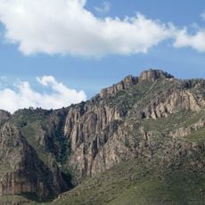
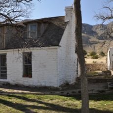
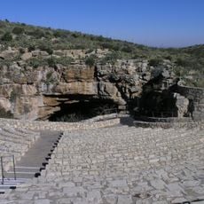
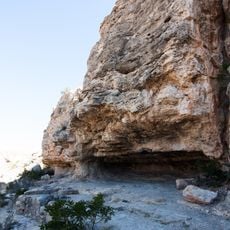
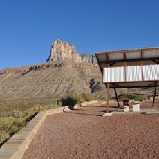
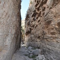
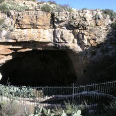
The campground provides access to four main hiking trails through the Chihuahuan Desert landscape, where visitors encounter distinctive plant species including gray oaks and alligator junipers with their scaly bark. This botanical variety reflects the unique transition zone between desert and mountain environments.

Location: Culberson County

Website: https://nps.gov/gumo/planyourvisit/camping.htm

GPS coordinates: 31.89545,-104.82637

Latest update: December 15, 2025 13:24

Photos
Around this place
Carlsbad Caverns National Park
United States of America

Carlsbad Caverns National Park

47.7 km
Guadalupe Peak
United States of America

Guadalupe Peak

3.3 km
Waste Isolation Pilot Plant
United States of America

Waste Isolation Pilot Plant

80 km
Lechuguilla Cave
United States of America

Lechuguilla Cave

44.8 km
Sitting Bull Falls
United States of America

Sitting Bull Falls

40.8 km
McKittrick Canyon
United States of America

McKittrick Canyon

11.5 km
Living Desert Zoo and Gardens State Park
United States of America

Living Desert Zoo and Gardens State Park

79.9 km
Rattlesnake Springs Historic District
United States of America

Rattlesnake Springs Historic District

41.4 km
Wallace E. Pratt House
United States of America

Wallace E. Pratt House

9.4 km
The Caverns Historic District
United States of America

The Caverns Historic District

47.9 km
Frijole Ranch
United States of America

Frijole Ranch

2.8 km
Wallace Pratt Lodge
United States of America

Wallace Pratt Lodge

10.7 km
Pinery Station
United States of America

Pinery Station

879 m
Bat Flight Amphitheater
United States of America

Bat Flight Amphitheater

48 km
Carlsbad Cavern
United States of America

Carlsbad Cavern

48 km
Guadalupe Mountains Wilderness
United States of America

Guadalupe Mountains Wilderness

6.6 km
Smith Spring Trail
United States of America

Smith Spring Trail

3.3 km
Indian Rock Shelter
United States of America

Indian Rock Shelter

50.2 km
Butterfield Overland Mail Corridor
United States of America

Butterfield Overland Mail Corridor

937 m
Rattlesnake Springs Pump House
United States of America

Rattlesnake Springs Pump House

41.1 km
Pine Springs Visitor Center
United States of America

Pine Springs Visitor Center

454 m
Pine Springs Trailhead
United States of America

Pine Springs Trailhead

222 m
El Capitan Lookout
United States of America

El Capitan Lookout

4.9 km
Devils Hall
United States of America

Devils Hall

2.4 km
Frijole Ranch Picnic Area
United States of America

Frijole Ranch Picnic Area

2.6 km
Williams Ranch
United States of America

Williams Ranch

5.7 km
Natural Entrance
United States of America

Natural Entrance

48 km
Cottonwood Day Use Area
United States of America

Cottonwood Day Use Area

40.4 km
Show the full map
Reviews

Visited this place? Tap the stars to rate it and share your experience / photos with the community! Try now! You can cancel it anytime.

« Pine Springs Campground - Campground in Guadalupe Mountains National Park, Texas » is provided by Around Us (aroundus.com). Images and texts are derived from Wikimedia project under a Creative Commons license. You are allowed to copy, distribute, and modify copies of this page, under the conditions set by the license, as long as this note is clearly visible.

Discover hidden gems everywhere you go!

From secret cafés to breathtaking viewpoints, skip the crowded tourist spots and find places that match your style. Our app makes it easy with voice search, smart filtering, route optimization, and insider tips from travelers worldwide. Download now for the complete mobile experience.

Around Us App Screenshot

A unique approach to discovering new places

Le Figaro

All the places worth exploring

France Info

A tailor-made excursion in just a few clicks

20 Minutes