Chest opened
+${chestReward.xp} XP
Explorer
NOUVEAU ×${chestReward.collectible.quantity}
tapez pour fermer

See the monuments around you in AR Open chests in the app

Around Us is built for your phone — point your camera at the streets and discover the monuments and places around you in augmented reality. Around Us is built for your phone — chests unlock when you walk, explore and capture nearby places.

•

Enable Location

We need your location to show you interesting places around you

Discover nearby places

Find interesting locations and hidden gems around you

Precise directions

Get accurate directions and distances to places

Your location is never shared with other users. It's only used when you tap the location button.

Carrizozo Malpais

Log in to your account

Start exploring — it's free

Trusted by 88,492 travelers worldwide

Continue with Google
Continue with Apple
or

We will send you a code to connect

By continuing, you accept our Terms and Conditions and our Privacy Policy

Check your inbox

We've sent a pincode in your inbox. Please enter the code below.

Carrizozo Malpais
Discussion Reviews 2 Photos
12.3k Popularity

Carrizozo Malpais, Volcanic site in Tularosa Basin, New Mexico, US

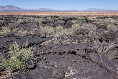
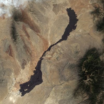
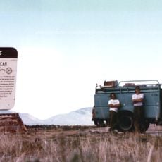
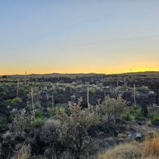
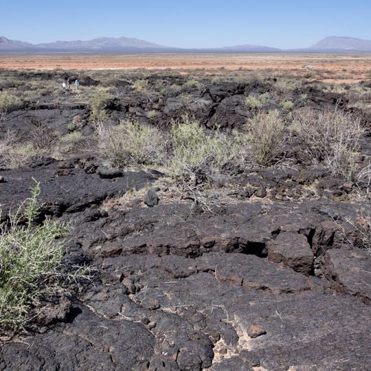
Carrizozo Malpais is an expansive lava field in New Mexico's Chihuahuan Desert, composed of dark basaltic rock that covers a vast landscape. The rough, fractured surface displays numerous geological features such as pressure ridges and collapsed sections that become visible as you explore the terrain.

The lava formation resulted from volcanic activity several thousand years ago and represents one of the younger geological formations in the region. It stands as a significant chapter in New Mexico's volcanic past and continues to shape the landscape today.

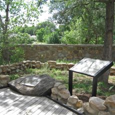
The Carrizozo Woman's Club initiated efforts to protect this geological formation, leading to its current status as a protected natural area.

The site is accessible through a designated recreation area with marked trails and observation points for exploring the lava fields. Wear sturdy footwear and be prepared for uneven, sharp-edged surfaces that make walking across the rock demanding and require careful footing.

The terrain reveals underground lava tubes visible during exploration, showing how molten rock flowed beneath the surface. These hollow passages offer a rare glimpse into the internal structures of a lava formation that visitors do not find everywhere.

The community of curious travelers

AroundUs brings together thousands of curated places, local tips, and hidden gems, enriched daily by 60,000 contributors worldwide.
Start exploring
Location
GPS coordinates
33.77000,-106.00000
Latest update
September 17, 2026 11:15
Around this place
McDonald Ranch House
United States of America

McDonald Ranch House

27.7 mi
Lincoln National Forest
United States of America

Lincoln National Forest

33.4 mi
White Oaks
United States of America

White Oaks

15.2 mi
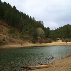
Bonito Lake
United States of America

Bonito Lake

26.7 mi
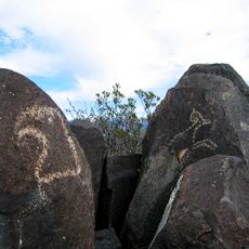
Three Rivers Petroglyph Site
United States of America

Three Rivers Petroglyph Site

29.3 mi
White Mountain Wilderness
United States of America

White Mountain Wilderness

27.1 mi
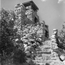
Monjeau Lookout
United States of America

Monjeau Lookout

28.1 mi
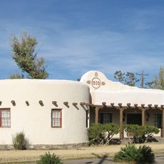
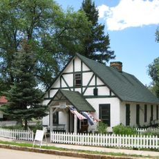
Carrizozo Woman's Club
United States of America

Carrizozo Woman's Club

11.3 mi
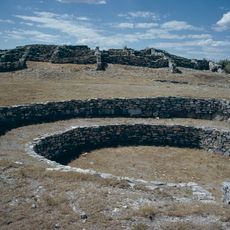
Gran Quivera Historic District
United States of America

Gran Quivera Historic District

34.8 mi
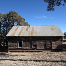
Jicarilla Schoolhouse
United States of America

Jicarilla Schoolhouse

20.8 mi
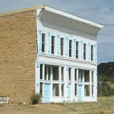
Carrizozo Commercial Historic District
United States of America

Carrizozo Commercial Historic District

11.4 mi
Fort Stanton Museum
United States of America

Fort Stanton Museum

33.3 mi
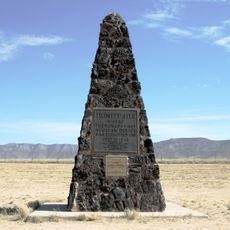
Trinity Site
United States of America

Trinity Site

28.1 mi
Fort Stanton Hospital Administration Building
United States of America

Fort Stanton Hospital Administration Building

33.3 mi
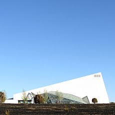
Spencer Theater for the Performing Arts
United States of America

Spencer Theater for the Performing Arts

32.6 mi
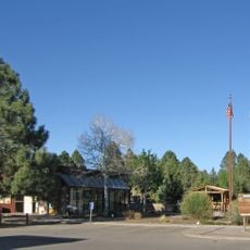
Smokey Bear Historical Park
United States of America

Smokey Bear Historical Park

29 mi
Smokey Bear Vista Point
United States of America

Smokey Bear Vista Point

32.4 mi
Valley of Fires State Park
United States of America

Valley of Fires State Park

5 mi
Smokey Bear Interpretive Trail
United States of America

Smokey Bear Interpretive Trail

29 mi
United States of America

Ancho Railroad Depot Historic Site

18.9 mi
United States of America

Capitian Depot Historic Site

29.1 mi
United States of America

Jumbo

28.2 mi
United States of America

Scenic viewpoint

7.5 mi
United States of America

Scenic viewpoint

7.6 mi
United States of America

Scenic viewpoint

7.6 mi
United States of America

Site where Roswell ship exploded

31.7 mi
United States of America

Scenic viewpoint

28.4 mi
United States of America

Scenic viewpoint

29.2 mi
Show the full map
Reviews
Share your experience

No review yet

Discussions
Start a discussion...

No discussion yet

« Carrizozo Malpais - Volcanic site in Tularosa Basin, New Mexico, US » is provided by Around Us (aroundus.com). Images and texts are derived from Wikimedia project under a Creative Commons license. You are allowed to copy, distribute, and modify copies of this page, under the conditions set by the license, as long as this note is clearly visible.

Discover hidden gems everywhere you go!

From secret cafés to breathtaking viewpoints, skip the crowded tourist spots and find places that match your style. Our app makes it easy with voice search, smart filtering, route optimization, and insider tips from travelers worldwide. Download now for the complete mobile experience.

Around Us App Screenshot
❝

A unique approach to discovering new places❞

— Le Figaro

❝

All the places worth exploring❞

— France Info

❝

A tailor-made excursion in just a few clicks❞

— 20 Minutes

Around Us
Travel Guide & Maps
Download

Send to your phone

QR Code
1

Open the camera app on your mobile.

2

Point at the QR code with your camera. A notification will appear.

3

Tap the notification to open the link.