Enable Location

We need your location to show you interesting places around you

Discover nearby places

Find interesting locations and hidden gems around you

Precise directions

Get accurate directions and distances to places

Your location is never shared with other users. It's only used when you tap the location button.

Fort Stanton – Snowy River Cave National Conservation Area

Log in to your account

Start exploring — it's free

Trusted by 62,546 travelers worldwide

Continue with Google
Continue with Apple
or

We will send you a code to connect

By continuing, you accept our Terms and Conditions and our Privacy Policy

Check your inbox

We've sent a pincode in your inbox. Please enter the code below.

Fort Stanton – Snowy River Cave National Conservation Area

Fort Stanton – Snowy River Cave National Conservation Area, Nature reserve in Ruidoso, New Mexico, US

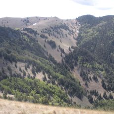
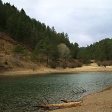
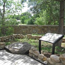
Fort Stanton-Snowy River Cave National Conservation Area is a sprawling nature reserve in the eastern foothills of Sierra Blanca that contains one of America's longest underground rivers. The area blends forested ridges with an extensive network of caves and subterranean waterways beneath the surface.

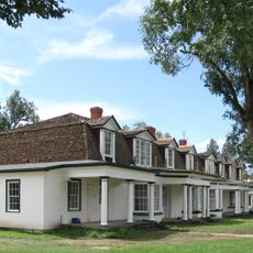
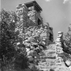
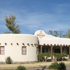
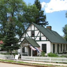
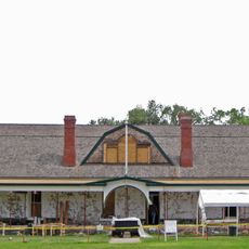
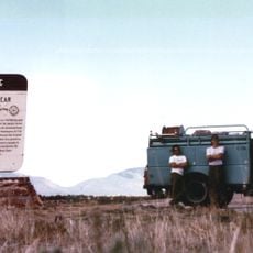
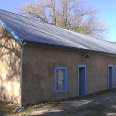
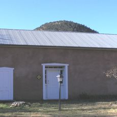
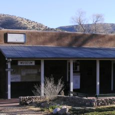
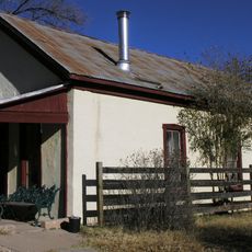
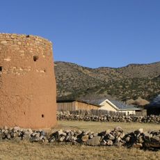
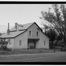
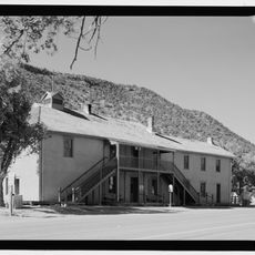
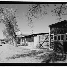
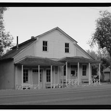
The U.S. Cavalry established Fort Stanton in 1855 as a military outpost to control the region during territorial expansion. The site played a key role in the frontier history of southern New Mexico in the decades following the American-Mexican War.

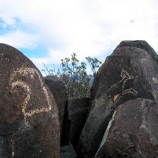
The Rio Bonito Petroglyph Trail displays rock etchings that the Jornada Mogollon people created centuries ago, still visible on the canyon walls today. These carvings offer a window into the lives of those who once inhabited this valley.

Rob Jaggers Campground offers basic amenities including parking with electric hookups, picnic areas, and drinking water. The area is accessible by foot and horseback, with several trails that vary in difficulty and length.

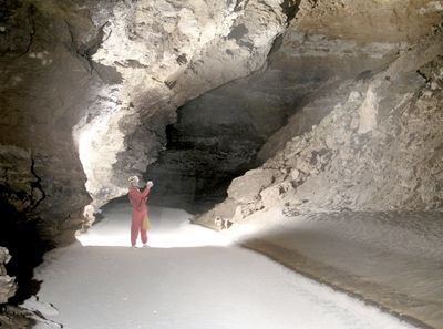
The Snowy River passage features an unusual bright white calcite stream bed running through caves deep underground. This is one of the few places where visitors can witness such intense geological formations created by subterranean water flow.

The community of curious travelers

AroundUs brings together thousands of curated places, local tips, and hidden gems, enriched daily by 60,000 contributors worldwide.

Start exploring
Location
Ruidoso
Operator
BLM
GPS coordinates
33.48845,-105.47518
Latest update
December 14, 2025 14:22
Around this place
Lincoln National Forest
United States of America

Lincoln National Forest

75.5 km
Fort Stanton
United States of America

Fort Stanton

4.6 km
Carrizozo Malpais
United States of America

Carrizozo Malpais

57.9 km
Bonito Lake
United States of America

Bonito Lake

24.1 km
Three Rivers Petroglyph Site
United States of America

Three Rivers Petroglyph Site

52.3 km
White Mountain Wilderness
United States of America

White Mountain Wilderness

26.1 km
Fox Cave
United States of America

Fox Cave

13 km
Lincoln Historic District
United States of America

Lincoln Historic District

8.7 km
Monjeau Lookout
United States of America

Monjeau Lookout

24.7 km
Carrizozo Woman's Club
United States of America

Carrizozo Woman's Club

41.2 km
Peter and Henriette Wyeth Hurd House
United States of America

Peter and Henriette Wyeth Hurd House

16.5 km
Old Dowlin Mill
United States of America

Old Dowlin Mill

24.4 km
Fort Stanton Museum
United States of America

Fort Stanton Museum

4.7 km
Ruidoso Public Library
United States of America

Ruidoso Public Library

23.1 km
Spencer Theater for the Performing Arts
United States of America

Spencer Theater for the Performing Arts

13.2 km
Tunstall Store
United States of America

Tunstall Store

8.2 km
Fort Stanton Hospital Administration Building
United States of America

Fort Stanton Hospital Administration Building

4.8 km
Smokey Bear Vista Point
United States of America

Smokey Bear Vista Point

6.2 km
Montano Store
United States of America

Montano Store

8.4 km
Convento
United States of America

Convento

8.3 km
Anderson-Freeman Museum and Visitors Center
United States of America

Anderson-Freeman Museum and Visitors Center

8.4 km
Curry Saloon
United States of America

Curry Saloon

7.9 km
Torreon
United States of America

Torreon

8.3 km
Dr. Woods House
United States of America

Dr. Woods House

8 km
Old Lincoln County Courthouse
United States of America

Old Lincoln County Courthouse

7.9 km
Smokey Bear Interpretive Trail
United States of America

Smokey Bear Interpretive Trail

11.2 km
Ramon Maes House
United States of America

Ramon Maes House

7.9 km
Thomas W. Watson House
United States of America

Thomas W. Watson House

8.1 km
Show the full map
« Fort Stanton – Snowy River Cave National Conservation Area - Nature reserve in Ruidoso, New Mexico, US » is provided by Around Us (aroundus.com). Images and texts are derived from Wikimedia project under a Creative Commons license. You are allowed to copy, distribute, and modify copies of this page, under the conditions set by the license, as long as this note is clearly visible.

Discover hidden gems everywhere you go!

From secret cafés to breathtaking viewpoints, skip the crowded tourist spots and find places that match your style. Our app makes it easy with voice search, smart filtering, route optimization, and insider tips from travelers worldwide. Download now for the complete mobile experience.

Around Us App Screenshot

A unique approach to discovering new places

Le Figaro

All the places worth exploring

France Info

A tailor-made excursion in just a few clicks

20 Minutes

Around Us
Travel Guide & Maps
Download

Send to your phone

QR Code
1

Open the camera app on your mobile.

2

Point at the QR code with your camera. A notification will appear.

3

Tap the notification to open the link.