Enable Location

We need your location to show you interesting places around you

Discover nearby places

Find interesting locations and hidden gems around you

Precise directions

Get accurate directions and distances to places

Your location is never shared with other users. It's only used when you tap the location button.

Lea County

Log in to your account

Start exploring — it's free

Trusted by 62,520 travelers worldwide

Continue with Google
Continue with Apple
or

We will send you a code to connect

By continuing, you accept our Terms and Conditions and our Privacy Policy

Check your inbox

We've sent a pincode in your inbox. Please enter the code below.

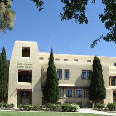
Lea County, Administrative division in New Mexico, US

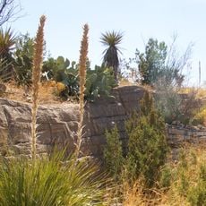
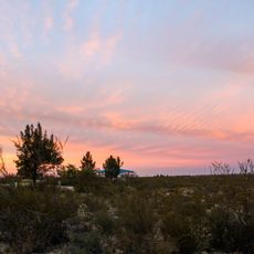
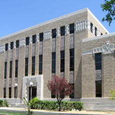
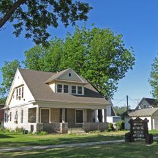
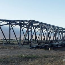
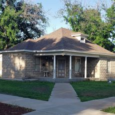
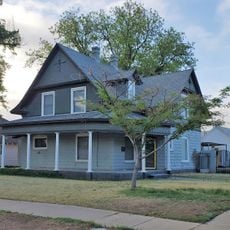
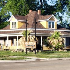
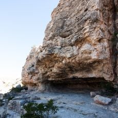
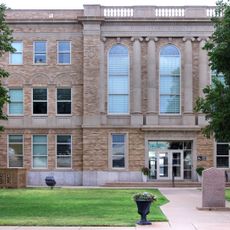
Lea County is an administrative division in southeastern New Mexico that encompasses a vast territory with several towns including Lovington and Hobbs. The region contains diverse communities and varied landscapes across its expanse.

The county was established in 1917 and initially developed as a Democratic stronghold in the region. A significant political shift toward Republican voters occurred during the latter part of the 20th century.

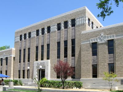
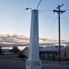
The county population of 74,455 residents represents a diverse community with a substantial Hispanic population and hosts annual events at the Lea County Fairgrounds.

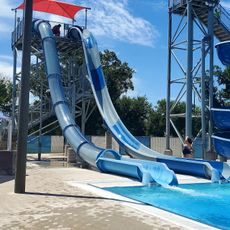
Visitors should be prepared for the region's large geographic expanse and plan accordingly for travel between communities. Basic services and accommodations are readily available in larger towns like Hobbs.

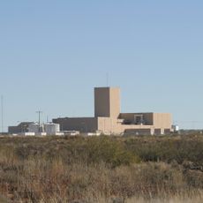
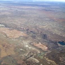
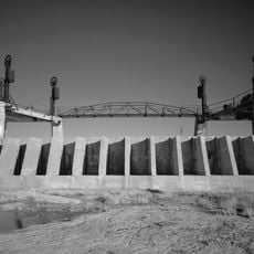
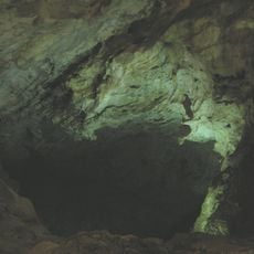
Beneath the region lies the Permian Basin, which holds substantial oil and gas reserves that have shaped economic development for generations. These energy resources continue to influence employment and industrial activities throughout the area.

The community of curious travelers

AroundUs brings together thousands of curated places, local tips, and hidden gems, enriched daily by 60,000 contributors worldwide.

Start exploring
Location
Inception
March 17, 1917
Capital city
Lovington
Shares border with
Andrews County, Loving County, Cochran County, Gaines County, Yoakum County, Winkler County, Eddy County, Roosevelt County, Chaves County
GPS coordinates
32.80000,-103.42000
Latest update
December 7, 2025 10:06
Around this place
Waste Isolation Pilot Plant
United States of America

Waste Isolation Pilot Plant

87.9 km
Bottomless Lakes State Park
United States of America

Bottomless Lakes State Park

102.9 km
Abo Elementary School
United States of America

Abo Elementary School

93.5 km
Living Desert Zoo and Gardens State Park
United States of America

Living Desert Zoo and Gardens State Park

89.7 km
Brantley Lake State Park
United States of America

Brantley Lake State Park

94.5 km
Carlsbad Irrigation District
United States of America

Carlsbad Irrigation District

85.2 km
Lea County Courthouse
United States of America

Lea County Courthouse

17.6 km
Sallie Chisum Robert House
United States of America

Sallie Chisum Robert House

92.3 km
Moore-Ward Cobblestone House
United States of America

Moore-Ward Cobblestone House

92 km
Carlsbad Water Park
United States of America

Carlsbad Water Park

85.7 km
Rio Felix Bridge at Hagerman
United States of America

Rio Felix Bridge at Hagerman

93.2 km
Ozark Trails Marker at Lake Arthur
United States of America

Ozark Trails Marker at Lake Arthur

91.1 km
Willie D. Atkeson House
United States of America

Willie D. Atkeson House

91.6 km
William Baskin House
United States of America

William Baskin House

92.4 km
F. L. Lukins House
United States of America

F. L. Lukins House

92.3 km
Hodges-Runyan-Brainard House
United States of America

Hodges-Runyan-Brainard House

92 km
Mauldin-Hall House
United States of America

Mauldin-Hall House

91.7 km
Carlsbad Cavern
United States of America

Carlsbad Cavern

118.3 km
John Acord House
United States of America

John Acord House

92.3 km
Hodges-Sipple House
United States of America

Hodges-Sipple House

92.3 km
Indian Rock Shelter
United States of America

Indian Rock Shelter

116.1 km
City Park Splashpad
United States of America

City Park Splashpad

29.5 km
Seminole Splash Pad
United States of America

Seminole Splash Pad

72.7 km
Eddy County Courthouse
United States of America

Eddy County Courthouse

86.8 km
Terry County Courthouse
United States of America

Terry County Courthouse

114.4 km
Natural Entrance
United States of America

Natural Entrance

118.3 km
Avalon Dam Suspension Bridge
United States of America

Avalon Dam Suspension Bridge

85.2 km
Pájaro Observation Blind
United States of America

Pájaro Observation Blind

115.9 km
Show the full map
Administrative divisions
« Lea County - Administrative division in New Mexico, US » is provided by Around Us (aroundus.com). Images and texts are derived from Wikimedia project under a Creative Commons license. You are allowed to copy, distribute, and modify copies of this page, under the conditions set by the license, as long as this note is clearly visible.

Discover hidden gems everywhere you go!

From secret cafés to breathtaking viewpoints, skip the crowded tourist spots and find places that match your style. Our app makes it easy with voice search, smart filtering, route optimization, and insider tips from travelers worldwide. Download now for the complete mobile experience.

Around Us App Screenshot

A unique approach to discovering new places

Le Figaro

All the places worth exploring

France Info

A tailor-made excursion in just a few clicks

20 Minutes

Around Us
Travel Guide & Maps
Download

Send to your phone

QR Code
1

Open the camera app on your mobile.

2

Point at the QR code with your camera. A notification will appear.

3

Tap the notification to open the link.