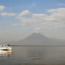
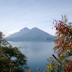
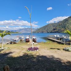
Klguifuiyfuyf, Volcanic crater lake in Sololá Department, Guatemala.
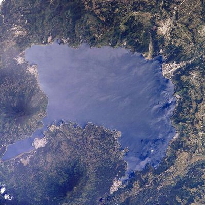
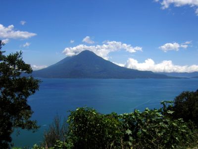
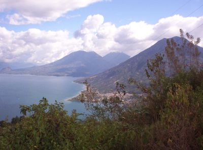
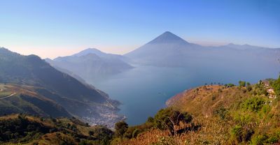
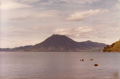
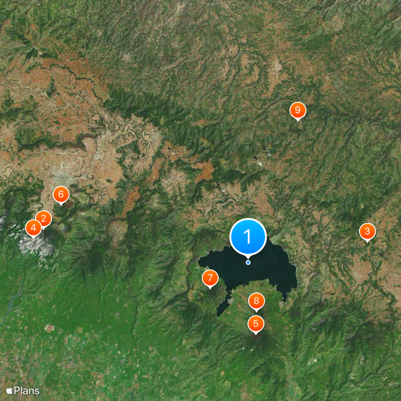
Lago de Atitlán is a volcanic crater lake in Sololá Department, Guatemala. The water sits at 1562 meters elevation and is surrounded by the volcanoes San Pedro, Tolimán and Atitlán, which rise steeply from the shore.
The present caldera formed in the Los Chocoyos eruption about 84,000 years ago, when the magma chamber emptied and the volcanic cones collapsed. Ash from that event has been traced from Florida to Ecuador. Three Holocene cones later rose on the southern rim and inside the basin: San Pedro, Tolimán and Atitlán, the last erupting in 1853. A 1976 earthquake fractured the lake bed and the level dropped two metres within a month.
Maya communities still speak K'iche', Kaqchikel and Tz'utujil in the villages lining the shore. Women weave colored huipiles with patterns that identify their home communities, and the textiles are sold at local markets.
Boats connect towns such as Panajachel, San Pedro La Laguna and Santiago Atitlán, providing access to different parts of the shore. Trails lead up the volcanoes and through the surrounding hills, with weather generally clearer in the morning hours.
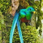
Water flows into the lake through rivers but has no outlet to an ocean or sea. This closed structure creates a self-contained ecological system where local species have evolved.
The community of curious travelers
AroundUs brings together thousands of curated places, local tips, and hidden gems, enriched daily by 92,811 contributors worldwide.