Enable Location

We need your location to show you interesting places around you

Discover nearby places

Find interesting locations and hidden gems around you

Precise directions

Get accurate directions and distances to places

Your location is never shared with other users. It's only used when you tap the location button.

Fraijanes

Log in to your account

Start exploring — it's free

Trusted by 66,658 travelers worldwide

Continue with Google
Continue with Apple
or

We will send you a code to connect

By continuing, you accept our Terms and Conditions and our Privacy Policy

Check your inbox

We've sent a pincode in your inbox. Please enter the code below.

Discussion Reviews 1 Photos
23.1k Popularity

Fraijanes, municipality of Guatemala Department, Guatemala

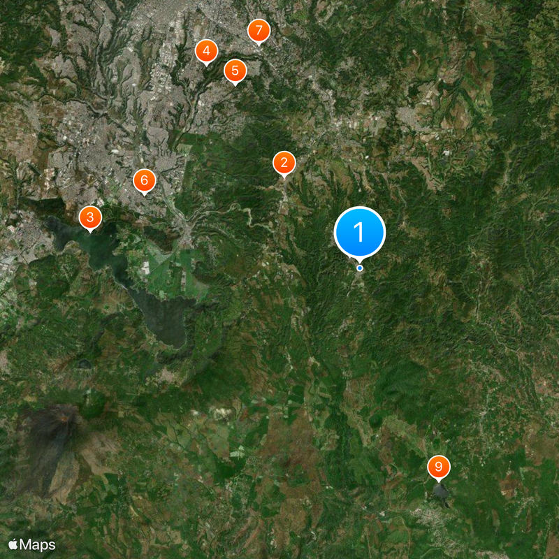
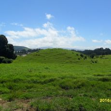
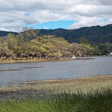
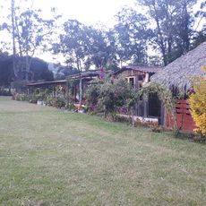
Fraijanes is a municipality in Guatemala Department, located southeast of Guatemala City, made up of several villages and rural communities spread across a highland plateau. The land is largely agricultural, with coffee farms and open fields mixed with residential areas.

The area was inhabited by indigenous groups before Spanish colonization and gradually took shape as a formal municipality within the department over the following centuries. Growth picked up in the 20th century as new settlements formed around existing villages.

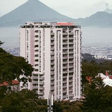
Fraijanes is reached by road from Guatemala City heading southeast, and the trip takes roughly half an hour. Once there, having your own vehicle is helpful since connections between villages are limited.

Fraijanes sits at around 5,250 feet (1,600 meters) above sea level, which gives it a noticeably cooler climate than Guatemala City just a short drive away. This difference in temperature over such a short distance surprises many visitors from the capital.

The community of curious travelers

AroundUs brings together thousands of curated places, local tips, and hidden gems, enriched daily by 60,000 contributors worldwide.

Start exploring
Inception
1924
Elevation above the sea
1,800 m
Shares border with
Villa Canales, Barberena, San José Pinula, Santa Catarina Pinula, Santa Cruz Naranjo, Santa Rosa de Lima
GPS coordinates
14.46220,-90.43860
Latest update
March 3, 2026 08:22
Reviews
Share your experience

No review yet

Discussions
Start a discussion...

No discussion yet

« Fraijanes - municipality of Guatemala Department, Guatemala » is provided by Around Us (aroundus.com). Images and texts are derived from Wikimedia project under a Creative Commons license. You are allowed to copy, distribute, and modify copies of this page, under the conditions set by the license, as long as this note is clearly visible.

Discover hidden gems everywhere you go!

From secret cafés to breathtaking viewpoints, skip the crowded tourist spots and find places that match your style. Our app makes it easy with voice search, smart filtering, route optimization, and insider tips from travelers worldwide. Download now for the complete mobile experience.

Around Us App Screenshot

A unique approach to discovering new places

Le Figaro

All the places worth exploring

France Info

A tailor-made excursion in just a few clicks

20 Minutes

Around Us
Travel Guide & Maps
Download

Send to your phone

QR Code
1

Open the camera app on your mobile.

2

Point at the QR code with your camera. A notification will appear.

3

Tap the notification to open the link.