
Mataquescuintla, municipality of Jalapa Department, Guatemala
Location: Jalapa Department
Elevation above the sea: 1,727 m
Shares border with: Sansare, Sanarate, Palencia, San Carlos Alzatate, San Rafael Las Flores, San José Pinula, Jalapa, Santa Rosa de Lima, Nueva Santa Rosa, Casillas
GPS coordinates: 14.53364,-90.18381
Latest update: August 9, 2025 06:45
Casa de Dios
32.1 km
Estadio Cementos Progreso
36.5 km
Club Premier
36.8 km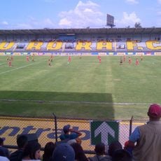
Estadio del Ejército
36.3 km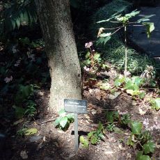
Botanical Garden of Guatemala
36.5 km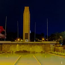
Obelisco
36.6 km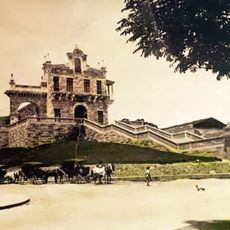
Iglesia del Calvario
35 km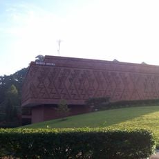
Ixchel Museum of Indigenous Textiles and Clothing
35.7 km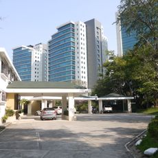
Zona Pradera
33.9 km
Tahual
32.7 km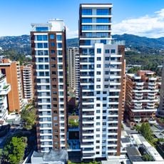
Torres ECHO
36.8 km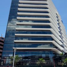
Torres Design Center
35 km
Santa Isabel
29 km
Paseo Cayalá
33.7 km
IGA
36.9 km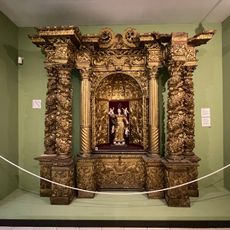
Museo Popol Vuh
35.6 km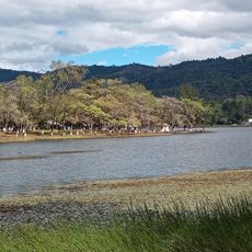
Laguna El Pino
30.7 km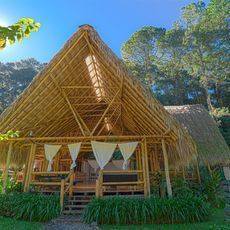
El Tular Santuario Natural
22.6 km
Catarata de Urlanta
16.8 km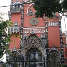
Yurrita church
36.8 km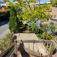
Parque de Robots
34.6 km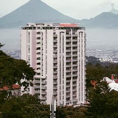
Torre Real
32.7 km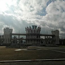
Tribuna Militar
35.7 km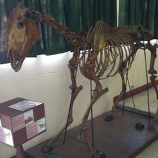
Museo de Historia Natural USAC
36.5 km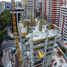
Lantana Tower
36.9 km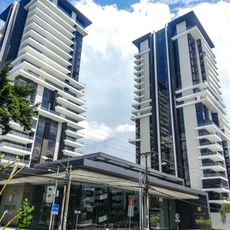
Tiffany Novena
36.4 km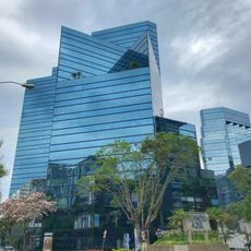
Atlantis Building, Guatemala City
36.2 km
Tigo Tower
32.4 kmReviews
Visited this place? Tap the stars to rate it and share your experience / photos with the community! Try now! You can cancel it anytime.
Discover hidden gems everywhere you go!
From secret cafés to breathtaking viewpoints, skip the crowded tourist spots and find places that match your style. Our app makes it easy with voice search, smart filtering, route optimization, and insider tips from travelers worldwide. Download now for the complete mobile experience.

A unique approach to discovering new places❞
— Le Figaro
All the places worth exploring❞
— France Info
A tailor-made excursion in just a few clicks❞
— 20 Minutes