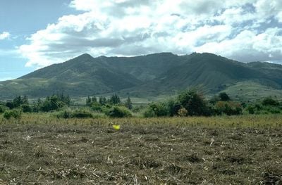
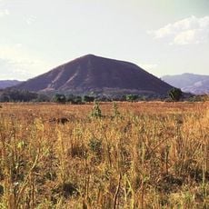
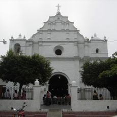
Tahual, Stratovolcano in Jalapa Department, Guatemala
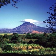
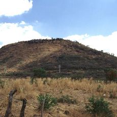
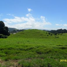
Tahual is a stratovolcano in Jalapa Department with an elevation of 1,716 meters (5,630 feet) and a long erosion crater that extends northeast toward the mountain's base. The volcanic formation displays typical features of a mature mountain shaped by geological processes.
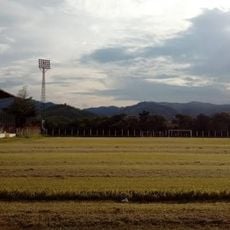
The volcano formed during the Holocene period and stands as a central landmark in the Sierra Madre mountain range of Central America. This geological area was shaped by volcanic activity over many thousands of years.
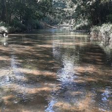
Local farmers use water from Laguna del Hoyo, a crater lake on the volcano's north side, to grow vegetables in the Monjas Valley. This water source shapes how people use the land around here.
Climbing takes about 2.5 hours starting from El Progreso municipality, which connects to Jutiapa via a main road. Sturdy footwear and water are essential, and the dry season offers the best conditions for the ascent.
A 250-meter (820-foot) tunnel channels water from a nearby river into the crater lake during winter months to support vegetable farming in surrounding fields. This engineering shows how the volcanic formation serves local agriculture in practical ways.
The community of curious travelers
AroundUs brings together thousands of curated places, local tips, and hidden gems, enriched daily by 60,000 contributors worldwide.