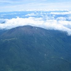
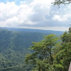
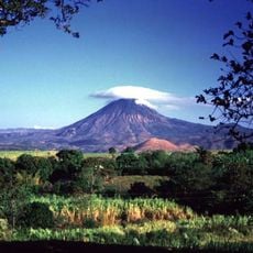
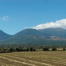
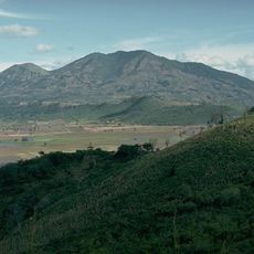
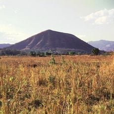
Culma, Shield volcano near Jutiapa, Guatemala.
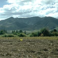
Culma is a scoria cone 3 km east of Jutiapa, the departmental capital, rising to 1,027 m above sea level. The Diccionario Geográfico de Guatemala lists it as the smallest of the 32 volcanoes it recognises. Its summit is covered with scrub and lies beside the Carretera Interamericana 1.
The volcano was formed by successive lava flows and is part of the Sierra Madre mountain system. Its geological development reflects the volcanic activity that has shaped this region of Guatemala.
The cone lies beside the Carretera Interamericana 1, the highway that links Jutiapa with the rest of southern Guatemala, so drivers pass close to its scrub-covered summit. The name Culma is used both for the hill and for the surrounding locality east of the departmental capital.
Culma lies about 3 km east of Jutiapa's departmental capital, right beside the Carretera Interamericana 1, so it is reached by road from the city. The summit is covered in scrub, and no marked trail or facilities are recorded in the sources.
Culma is listed as the smallest of the 32 volcanoes recognised by the Diccionario Geográfico de Guatemala, at 1,027 m above sea level. Its summit lies beside the Carretera Interamericana 1, and the cone stands in the same volcanic field as Cerro Santiago.
The community of curious travelers
AroundUs brings together thousands of curated places, local tips, and hidden gems, enriched daily by 94,105 contributors worldwide.