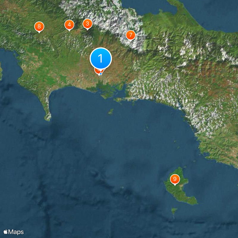
Chiriquí Province, Administrative province in western Panama.
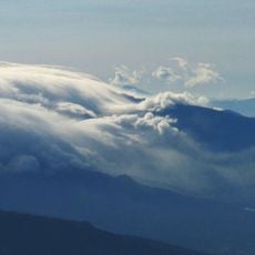
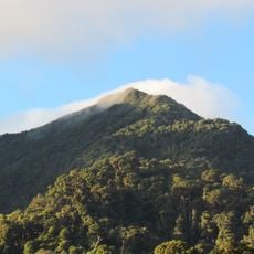
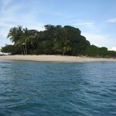
Chiriquí is an administrative province in western Panama that stretches from the Pacific coast to the mountain regions. It covers cloud forests at higher elevations, agricultural valleys in the center, and the marine areas of the Gulf of Chiriquí along the shoreline.
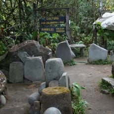
The area was explored by Spanish expeditions led by Gaspar de Espinosa in 1519 and later settled during colonial times. It gained provincial status on May 26, 1849, when Panama was still part of Colombia.
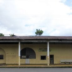
The name comes from the Chiriquí River, which flows through much of the region and shaped life here for centuries. Markets in the towns sell tropical fruits and local crafts that reflect daily life in the region.
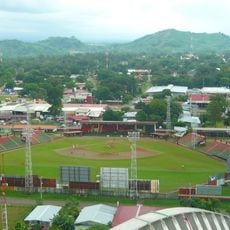
Travelers reach the province through the airport in David, which is about one hour by flight from Panama City. Driving along the Pan-American Highway takes around seven hours from the capital.
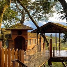
Geisha coffee grows in the higher elevations near Boquete, a variety that originally came from Ethiopia and only gained worldwide recognition in the late 20th century. The beans ripen at altitudes above 1700 meters (5577 feet) and often fetch high prices at auctions.
The community of curious travelers
AroundUs brings together thousands of curated places, local tips, and hidden gems, enriched daily by 60,000 contributors worldwide.