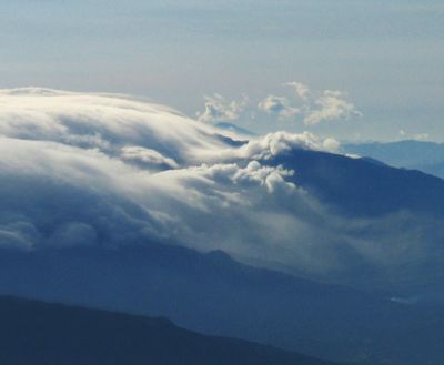
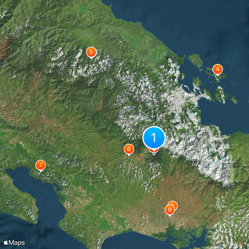
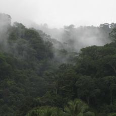
Volcan Baru, Active stratovolcano in Chiriqui Province, Panama.
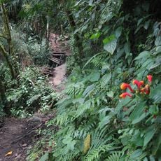
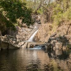
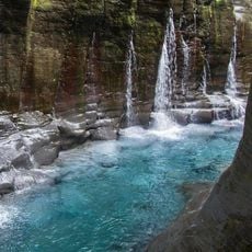
Volcán Barú is a stratovolcano in Chiriquí Province, Panama, rising to 3474 meters (11 398 feet) and containing seven craters along with slopes that range from rainforest to alpine meadows. The summit sits within a national park that protects five different climate zones and offers hikers routes through cloud forests and rocky plateaus.
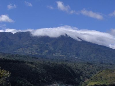
The volcano formed during the creation of the land bridge between North and South America and remained active over millennia. Earthquake swarms in 1930, 1965, 1985, and 2006 remind observers that the mountain continues to be geologically alive.
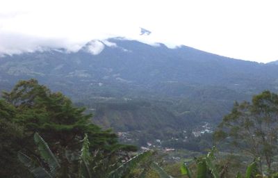
The volcanic earth around the mountain allows farmers to grow geisha coffee, a variety known for its smooth taste and fruity notes. Estates at middle elevations use the cool climate and mineral-rich soil to produce beans that fetch high prices at tastings.
Hikers reach the summit using two main routes: an eight-hour climb from the town of Volcán or a longer but gentler path from Boquete. Most visitors start at night to catch sunrise at the top and avoid afternoon weather.
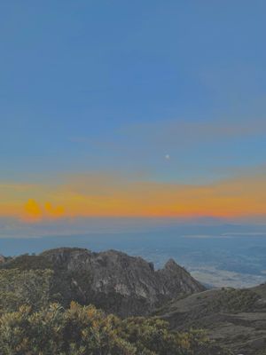
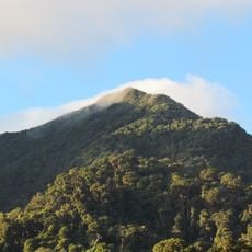
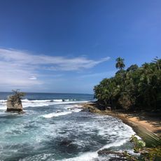
From the peak, visitors can see both the Pacific Ocean and the Caribbean Sea at the same time, a viewing point shared by very few places worldwide. On clear days, both bodies of water become visible at once, separated by the narrow strip of Panamanian land.
The community of curious travelers
AroundUs brings together thousands of curated places, local tips, and hidden gems, enriched daily by 60,000 contributors worldwide.