Florencia, Administrative capital in Caquetá Department, Colombia
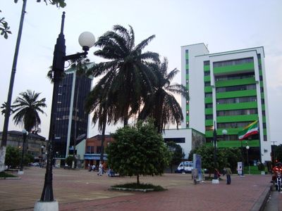
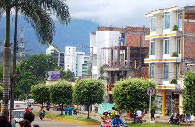
Florencia sits along the Orteguaza River at the base of the Cordillera Oriental mountains and is the largest urban area in Colombia's Amazon zone. Its streets follow a grid layout, with the downtown core spreading around several open squares and tree-lined avenues.
A Capuchin friar named Doroteo De Pupiales founded the settlement in 1902 near the Hacha River when rubber plantations were being established in this area. The place later grew into a regional administrative and commercial hub for the eastern Amazon basin.
The El Encanto Petroglyphs display animal and plant engravings carved into large rocks by pre-colonial peoples of this region. Visitors can see these markings directly and understand how earlier inhabitants recorded their surroundings in stone.
Temperatures stay around 26 degrees Celsius throughout the year, with January being drier and June seeing much heavier rainfall. Light rain protection is especially useful during the second half of the year when longer showers occur more often.
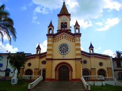
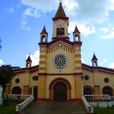
The Curiplaya Building from the 1950s now houses several cultural organizations and is protected as national heritage. Its facade shows typical republican architectural elements and recalls the early growth phase of the city.
The community of curious travelers
AroundUs brings together thousands of curated places, local tips, and hidden gems, enriched daily by 60,000 contributors worldwide.