Caquetá Department, Administrative department in southeastern Colombia.
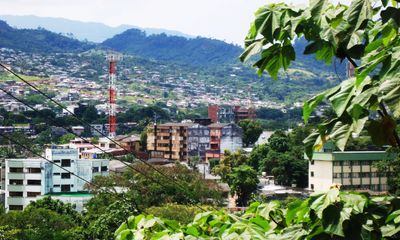
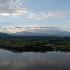
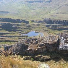
Caquetá Department covers a large part of southeastern Colombia, extending from the mountains of the Eastern Cordillera down to the lower areas of the Amazon Basin. The landscape shifts from green hills in the west to wide plains and dense rainforest in the east.
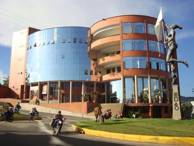
The territory was organized as an intendancy in 1905 and officially became a department in 1981. This change gave the region more autonomy and a stronger role in the Colombian administrative system.
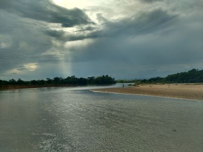
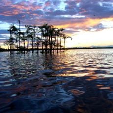
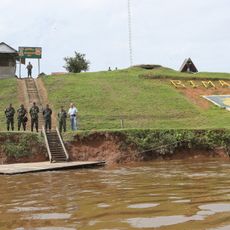
The name comes from the Caquetá River, which flows through the territory and shapes how communities organize their daily routines. Many residents live along the waterways, where boats and small docks define everyday movement.
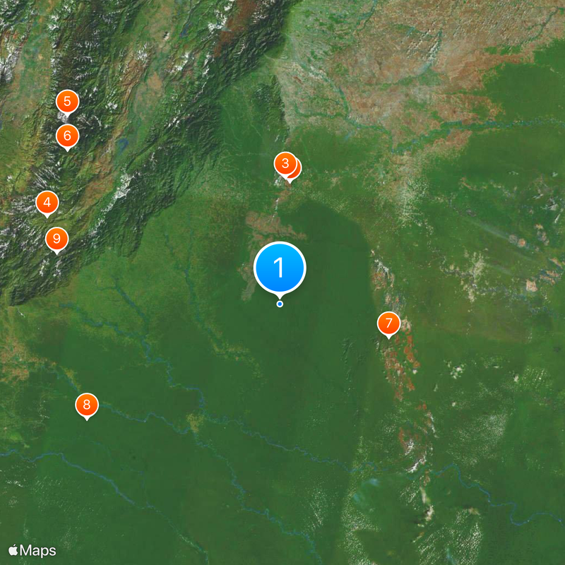
The region sits around 590 feet (180 m) above sea level and follows the UTC-5 time zone. Travelers should note that many places are accessible by river routes or unpaved roads.
With around 4.5 people per square kilometer, this territory ranks among the least populated regions in Colombia. The wide spaces leave room for nature and small, scattered settlements.
Location: Colombia
Inception: December 15, 1981
Capital city: Florencia
Elevation above the sea: 182 m
Part of: Amazon natural region
Shares border with: Putumayo Department, Cauca Department, Huila Department, Meta Department, Guaviare Department, Vaupés Department, Amazonas Department
Website: http://caqueta.gov.co
GPS coordinates: 1.03333,-73.90000
Latest update: December 4, 2025 23:40
Serranía de la Macarena
141.7 km
San Agustin archeological park
277.6 km
Tierradentro
293.4 km
Chiribiquete National Park
127.3 km
Cuyabeno Wildlife Reserve
250.4 km
Puracé
312.1 km
Puracé National Natural Park
302 km
Lake Betania
251.3 km
Estadio Guillermo Plazas Alcid
261.6 km
Chiribiquete's rock shelters
130.9 km
Salto de Bordones
275.1 km
Cordillera de los Picachos National Natural Park
210.2 km
Tinigua National Natural Park
167.7 km
Güeppi
197.7 km
Tiputini Biodiversity Station
312 km
Alto Fragua - Indi Wasi National Natural Park
251.7 km
La Venta
285.5 km
Immaculate Conception Cathedral, Neiva
261.3 km
Our Lady of Lourdes Cathedral, Florencia
201.5 km
Salto de Mortiño
273.1 km
Terminal de Transportes de Florencia
201.2 km
Plaza de toros de Santo Domingo
203.9 km
Capilla Paéz San Andrés de Pisimbalá
294.5 km
Íquira, Huila Main Park
263.9 km
Brigada 27 Mocoa
306.1 km
Jardín Botánico de La Macarena
128.6 km
Sierra de la Macarena National Nature Park
198.4 km
Reviews
Visited this place? Tap the stars to rate it and share your experience / photos with the community! Try now! You can cancel it anytime.
Discover hidden gems everywhere you go!
From secret cafés to breathtaking viewpoints, skip the crowded tourist spots and find places that match your style. Our app makes it easy with voice search, smart filtering, route optimization, and insider tips from travelers worldwide. Download now for the complete mobile experience.
A unique approach to discovering new places❞
— Le Figaro
All the places worth exploring❞
— France Info
A tailor-made excursion in just a few clicks❞
— 20 Minutes