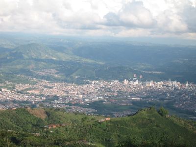
Pereira, Regional capital in western Cordillera Central, Colombia
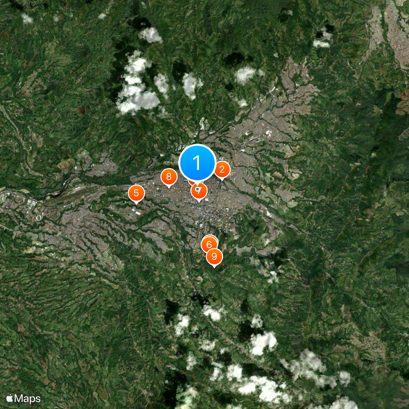
Pereira sits at 1411 meters elevation in the western foothills of the central mountain range and overlooks the Cauca valley with mountains surrounding the urban area. Streets run in a grid from the historic center toward newer neighborhoods on the slopes, while the Otún river marks the eastern edge of town.
The settlement began on August 30, 1863, when Remigio Antonio Cañarte established a new community on former Cartago lands purchased by Francisco Pereira Martínez. The town grew quickly as a trade center for surrounding coffee farms and gained departmental capital status in 1870.
The bronze figure by Rodrigo Arenas Betancourt from 1963 shows Simón Bolívar without the usual military symbols and stands on its own plaza in the city center. This portrayal emphasizes the human side of the liberator rather than his role as general or statesman.
The Technical University from 1958 offers higher education programs and research facilities that contribute to regional development across multiple fields. The main buildings lie in the northeast part of town and are reachable by local bus lines, with the campus open to visitors during daytime hours.
The town serves as a central hub for the Colombian coffee production region, with extensive facilities for processing and distributing coffee beans nationwide. Visitors can notice the smell of freshly roasted coffee in the streets around the processing centers, especially in the early morning.
The community of curious travelers
AroundUs brings together thousands of curated places, local tips, and hidden gems, enriched daily by 60,000 contributors worldwide.