Puriscal Canton, Administrative canton in San José Province, Costa Rica
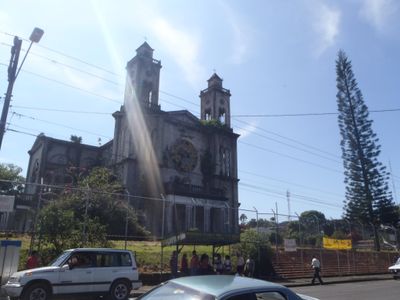
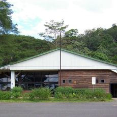
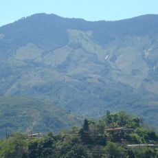
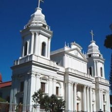
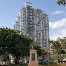
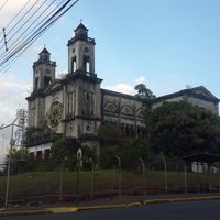
Puriscal Canton is an administrative area in San José Province that spreads across hilly terrain with elevations up to about 483 meters. The canton comprises nine districts, with Santiago serving as the administrative center, and various road routes connecting the communities together.
The canton received its official status on August 7, 1868, when it separated from Escazú Canton. This division was part of Costa Rica's broader territorial reorganization efforts during the 1800s.
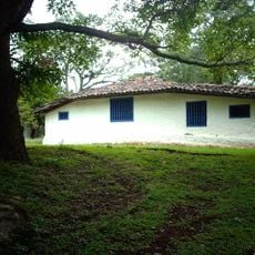
The name Puriscal comes from the Spanish word 'purisco', meaning bean flower, which once covered the region's farmlands. This connection to agriculture remains visible today in the small villages and fields that define the area.
The area is best reached by car, as National Routes 136, 137, and 239 connect the different districts. The rural landscape means that exploring the region takes time, so plan accordingly for a relaxed visit.
The population here is predominantly rural, with only a small portion of residents living in urban areas. This rural character shapes everyday life and defines the communities throughout the canton.
Location: San José Province
Capital city: Santiago
Elevation above the sea: 483 m
Shares border with: Parrita Canton, Acosta Canton, Turrubares Canton, Mora Canton
Website: http://puriscal.go.cr
GPS coordinates: 9.73336,-84.40942
Latest update: December 7, 2025 19:30
National Theatre of Costa Rica
42.7 kmLa Sabana Metropolitan Park
40.4 km
Pre-Columbian Gold Museum
42.8 km
Parque de Diversiones
39.9 km
Carara National Park
24 km
Metropolitan Cathedral of San José
42.5 km
Melico Salazar Theatre
42.5 km
San José Central Market
42.3 km
Post Bulding Central Office
42.6 km
Avenida Central
42.5 km
Torres Paseo Colón
41.6 km
Costa Rican Center of Science and Culture
42.9 km
Costa Rican Center of Science and Culture
42.9 km
San José Costa Rica Temple
37.4 km
Plaza Cleto González Víquez
42.5 km
BN Arena
39.5 km
Steinvorth Building
42.6 km
Cerro Caraigres
29.7 km
La Cangreja National Park
4.4 km
Our Lady of the Pillar Cathedral, Alajuela
38.2 km
Students Promenade
42.7 km
Bocaraca
39.8 km
Playa Hermosa-Punta Mala Wildlife Refuge
27.6 km
Herdocia building
42.6 km
Vistas de Nunciatura
39.9 km
Evangelical Lutheran Church of Costa Rica
39.6 km
Centro de Conservación de Santa Ana
32.8 km
Luis Olle Building
42.7 kmVisited this place? Tap the stars to rate it and share your experience / photos with the community! Try now! You can cancel it anytime.
Discover hidden gems everywhere you go!
From secret cafés to breathtaking viewpoints, skip the crowded tourist spots and find places that match your style. Our app makes it easy with voice search, smart filtering, route optimization, and insider tips from travelers worldwide. Download now for the complete mobile experience.
A unique approach to discovering new places❞
— Le Figaro
All the places worth exploring❞
— France Info
A tailor-made excursion in just a few clicks❞
— 20 Minutes