Enable Location

We need your location to show you interesting places around you

Discover nearby places

Find interesting locations and hidden gems around you

Precise directions

Get accurate directions and distances to places

Your location is never shared with other users. It's only used when you tap the location button.

Monteverde Canton

Log in to your account

Start exploring — it's free

Trusted by 62,071 travelers worldwide

Continue with Google
Continue with Apple
or

We will send you a code to connect

By continuing, you accept our Terms and Conditions and our Privacy Policy

Check your inbox

We've sent a pincode in your inbox. Please enter the code below.

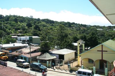
Monteverde Canton, Cloud forest administrative region in Puntarenas Province, Costa Rica

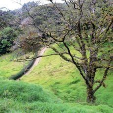
Monteverde Canton is a mountainous region in Puntarenas Province that stretches across approximately 53 kilometers at around 1330 meters elevation. The canton features dense forests and multiple ecological zones that create its distinctive landscape.

The canton was formally established by Costa Rica's Legislative Assembly in 2021 as a separate administrative district, splitting away from the previous Puntarenas administration. This creation followed decades of growth that began when the Quaker community settled here in the mid-1900s.

A group of Quaker families from the United States established farms here in the 1950s, bringing with them practices focused on community and conservation. This heritage still shapes how residents live together and care for the surrounding forest today.

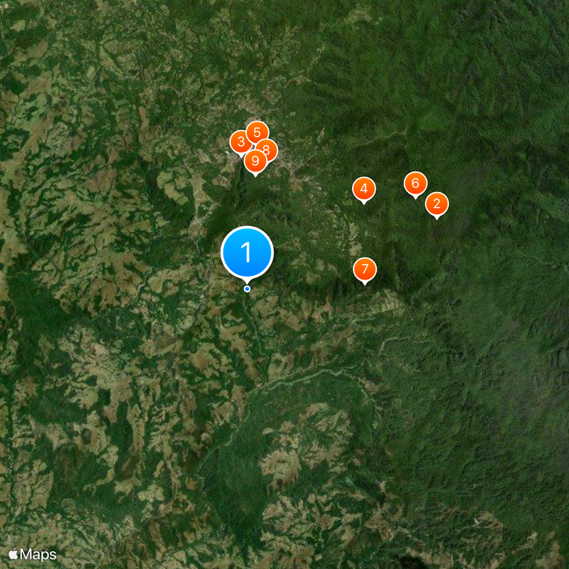
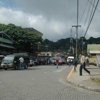
The region is accessible via routes 606, 619, and 620, and it is important to expect challenging mountain roads. Local transport services are available, though travel times can be longer due to the terrain and elevation changes.

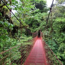
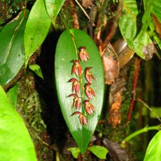
The region hosts an extraordinary range of plant and animal life, including more than 2500 plant species and over 400 bird species. This biodiversity draws nature observers and those curious about ecological diversity to explore the protected areas.

The community of curious travelers

AroundUs brings together thousands of curated places, local tips, and hidden gems, enriched daily by 60,000 contributors worldwide.

Start exploring
Inception
September 29, 2021
Capital city
Monteverde
Elevation above the sea
1,330 m
Shares border with
Abangares Canton, Puntarenas Canton, San Ramón Canton, Tilarán Canton
GPS coordinates
10.28959,-84.82513
Latest update
December 17, 2025 08:37
Administrative divisions
« Monteverde Canton - Cloud forest administrative region in Puntarenas Province, Costa Rica » is provided by Around Us (aroundus.com). Images and texts are derived from Wikimedia project under a Creative Commons license. You are allowed to copy, distribute, and modify copies of this page, under the conditions set by the license, as long as this note is clearly visible.

Discover hidden gems everywhere you go!

From secret cafés to breathtaking viewpoints, skip the crowded tourist spots and find places that match your style. Our app makes it easy with voice search, smart filtering, route optimization, and insider tips from travelers worldwide. Download now for the complete mobile experience.

Around Us App Screenshot

A unique approach to discovering new places

Le Figaro

All the places worth exploring

France Info

A tailor-made excursion in just a few clicks

20 Minutes

Around Us
Travel Guide & Maps
Download

Send to your phone

QR Code
1

Open the camera app on your mobile.

2

Point at the QR code with your camera. A notification will appear.

3

Tap the notification to open the link.