Enable Location

We need your location to show you interesting places around you

Discover nearby places

Find interesting locations and hidden gems around you

Precise directions

Get accurate directions and distances to places

Your location is never shared with other users. It's only used when you tap the location button.

Colombia–Panama border

Log in to your account

Start exploring — it's free

Trusted by 68,039 travelers worldwide

Continue with Google
Continue with Apple
or

We will send you a code to connect

By continuing, you accept our Terms and Conditions and our Privacy Policy

Check your inbox

We've sent a pincode in your inbox. Please enter the code below.

Colombia–Panama border
Discussion Reviews 1 Photos
60.9k Popularity

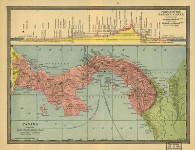
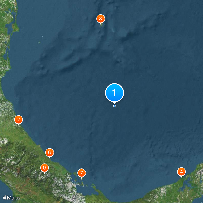
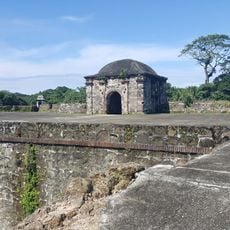
Colombia–Panama border, International border in Darien Gap between Colombia and Panama.

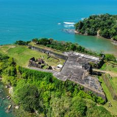
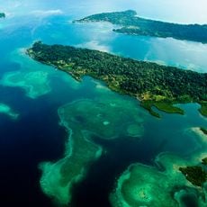
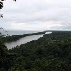
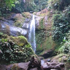
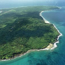
The border runs 339 kilometers from Cabo Tiburon on the Caribbean coast through mountain ranges to Punto Equidistante on the Pacific coast. It cuts through dense rainforest, over mountain peaks, and through river deltas on both sides of the divide.

The line formed after Panama separated from Colombia in 1903. A treaty with the United States formally recognized the new boundary in 1914.

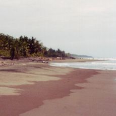
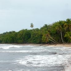
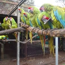
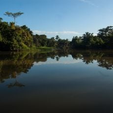
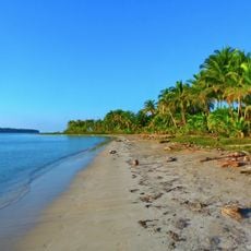
The Embera-Wounaan and Kuna speak their own languages and live in small communities along rivers and coasts. They paddle narrow wooden boats through the river systems and build their homes on stilts above water or along steep hillsides.

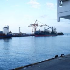
The region is accessible only by boat or small aircraft, as no continuous road exists. Anyone entering the zone must carry valid documents from both countries and follow entry requirements at each checkpoint.

This line marks the division between Central and South America, separating two continents with no continuous road. The Colombian side shows a wide delta, while the Panamanian side rises to peaks of 1,845 meters (6,053 feet).

The community of curious travelers

AroundUs brings together thousands of curated places, local tips, and hidden gems, enriched daily by 60,000 contributors worldwide.

Start exploring
Part of
borders of Colombia, Borders of Panama
GPS coordinates
10.81667,-81.43306
Latest update
December 13, 2025 19:09
Reviews
Share your experience

No review yet

Discussions
Start a discussion...

No discussion yet

« Colombia–Panama border - International border in Darien Gap between Colombia and Panama » is provided by Around Us (aroundus.com). Images and texts are derived from Wikimedia project under a Creative Commons license. You are allowed to copy, distribute, and modify copies of this page, under the conditions set by the license, as long as this note is clearly visible.

Discover hidden gems everywhere you go!

From secret cafés to breathtaking viewpoints, skip the crowded tourist spots and find places that match your style. Our app makes it easy with voice search, smart filtering, route optimization, and insider tips from travelers worldwide. Download now for the complete mobile experience.

Around Us App Screenshot

A unique approach to discovering new places

Le Figaro

All the places worth exploring

France Info

A tailor-made excursion in just a few clicks

20 Minutes

Around Us
Travel Guide & Maps
Download

Send to your phone

QR Code
1

Open the camera app on your mobile.

2

Point at the QR code with your camera. A notification will appear.

3

Tap the notification to open the link.