
Tubará, Colombian municipality of the department of Atlántico
Location: Atlántico Department
Elevation above the sea: 193 m
Website: http://tubara-atlantico.gov.co
GPS coordinates: 10.87417,-74.97861
Latest update: April 6, 2025 04:11
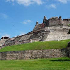
Castillo de San Felipe de Barajas
79.2 km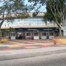
Estadio Romelio Martínez
23 km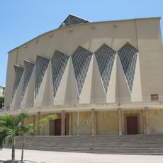
Queen Mary Cathedral, Barranquilla
24.2 km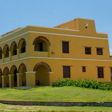
Castle of Saint Anthony of Salgar
16.5 km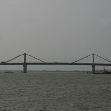
Laureano Gómez bridge
25.6 km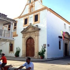
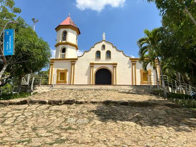
Iglesia de Santo Toribio
79.8 km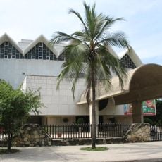
Teatro Amira de la Rosa
24.8 km
Museo de Arte Moderno de Barranquilla
31.9 km
Loa de los Santos Reyes Magos
11.6 km
Biblioteca Pública Departamental Meira Delmar
24.2 km
Biblioteca Piloto del Caribe
25.1 km
Ciénaga Grande de Santa Marta
61.4 km
Joaquín Barrios Polo
20.7 km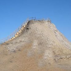
El Totumo
32.1 km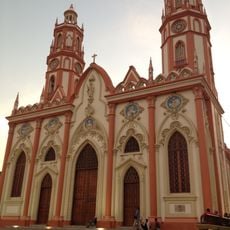
Saint Nicholas of Tolentino Church
24.9 km
Zoologico de barranquilla
25 km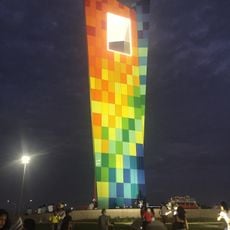
Ventana al mundo
23.9 km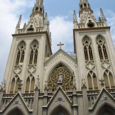
Saint-Roch Church
24.7 km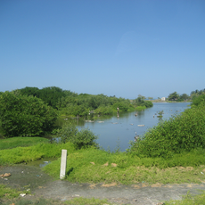
Salamanca Island Road Park
58.2 km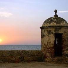
Port, Fortresses and Group of Monuments, Cartagena
79.2 km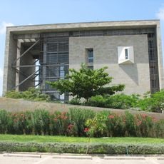
Parque Cultural del Caribe
64.5 km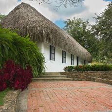
Museum of Poet Julio Florez
14.2 km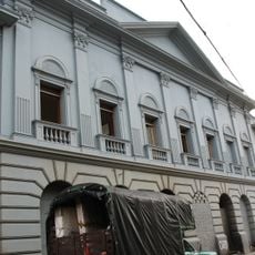
Museo del Atlántico
24.6 km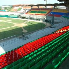
Estadio Once de Noviembre
77 km
Plaza de la Paz, Barranquilla
24.3 km
Ciénaga de Mallorquín
24 km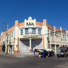
Teatro Rex
25 km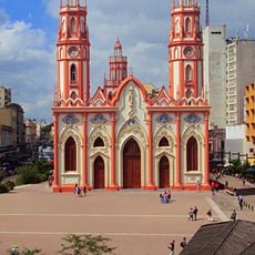
Plaza de san Nicolás
25 kmVisited this place? Tap the stars to rate it and share your experience / photos with the community! Try now! You can cancel it anytime.
Discover hidden gems everywhere you go!
From secret cafés to breathtaking viewpoints, skip the crowded tourist spots and find places that match your style. Our app makes it easy with voice search, smart filtering, route optimization, and insider tips from travelers worldwide. Download now for the complete mobile experience.

A unique approach to discovering new places❞
— Le Figaro
All the places worth exploring❞
— France Info
A tailor-made excursion in just a few clicks❞
— 20 Minutes