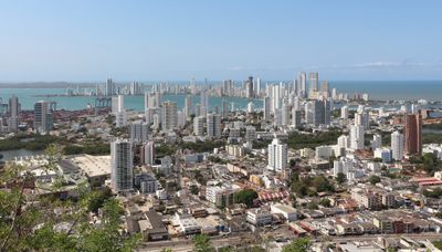
Cartagena de Indias, Colonial port city in Bolivar Department, Colombia
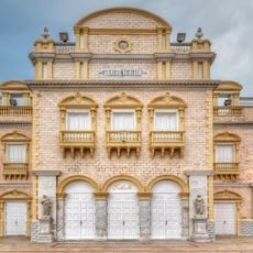
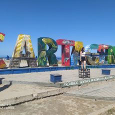
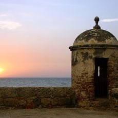
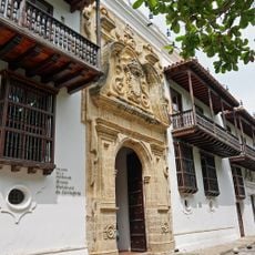
Cartagena de Indias is a Caribbean coastal city in Bolívar Department, Colombia, known for its preserved stone fortifications. Narrow cobbled streets wind between multi-story buildings with wooden balconies, while the modern part of town spreads beyond the historic walls along the bay.
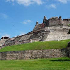
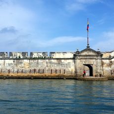
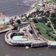
Pedro de Heredia founded the settlement in 1533 as a Spanish trading port for gold and enslaved people, which quickly grew into one of the Caribbean's main hubs. The massive defensive walls were built during the 17th and 18th centuries in response to repeated attacks by English, French and Dutch privateers.
Women in bright traditional dress sell fruit from baskets balanced on their heads throughout the old town streets. In the evenings, locals and visitors dance salsa and champeta together in public squares where live music continues well into the night.
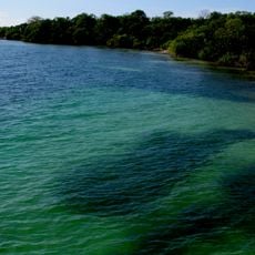
The tropical climate stays hot and humid all year, with the heaviest rains falling from October to December. The historic center is easy to explore on foot, while taxis and small motorcycle taxis are available for longer trips to the modern district or beaches.
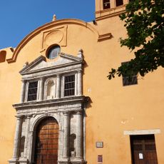
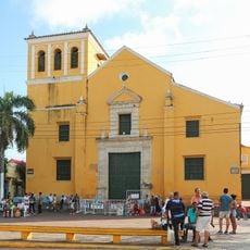
The church of San Pedro Claver preserves the remains of the missionary who dedicated his life to protecting enslaved Africans brought through this port. Beneath the cobbled streets of the old town run ancient aqueduct channels that directed rainwater to several underground cisterns.
The community of curious travelers
AroundUs brings together thousands of curated places, local tips, and hidden gems, enriched daily by 60,000 contributors worldwide.