Bolívar Department

Log in to your account

AroundUs is a community-driven map of interesting places, built by curious explorers like you. It grows with every review, story, and photo you share.
Connect to save your favorite spots, contribute locations, and create personalized routes.
Continue with Google
Continue with Apple
Continue with X
Continue with Facebook
Continue with email
By continuing, you accept our Terms and Conditions and our Privacy Policy
Create an account
Add to collection
Map
Suggest a change
Share

Bolívar Department, Caribbean administrative region in northern Colombia.

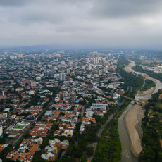
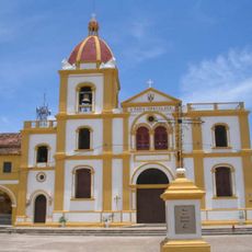
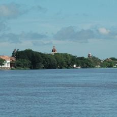
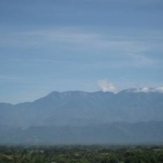
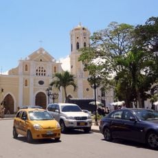
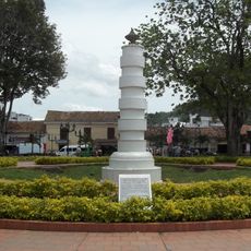
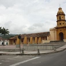
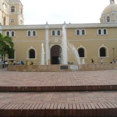
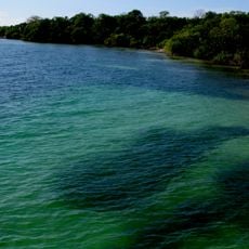
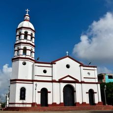
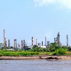
Bolívar Department stretches along the Caribbean coast and Magdalena River in northern Colombia, covering approximately 26,000 square kilometers. The region contains several provinces with numerous municipalities, with Cartagena being the most prominent and largest city.

The department emerged from the Federal State of Bolívar, which was established in 1857 as a territorial organization. Its borders have shifted over time as neighboring areas separated to form their own departments.

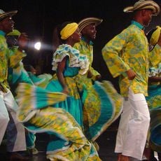
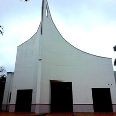
Spanish is spoken with local variations, and celebrations like the Feria de la Candelaria feature traditional music and dance throughout the region. Local dishes such as sancocho and ajiaco reflect the daily food culture shaped by the area's mixed heritage.

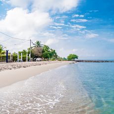
Visitors should plan their trip between December and March when rainfall is lighter and coastal conditions are more favorable. Most attractions cluster around Cartagena, though short excursions to other coastal towns and nearby areas are easily accessible.

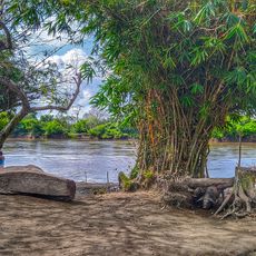
Near María la Baja and Sincerín are archaeological sites with remains of maloka structures from the Puerto Hormiga culture, dating back thousands of years before Spanish arrival. These early settlements reveal that the area was occupied and organized long before European contact.

Location: Colombia

Inception: 1857

Elevation above the sea: 16 m

Shares border with: Antioquia Department, Córdoba Department, Sucre Department, Atlántico Department, Magdalena Department, Cesar Department, Santander Department

Website: http://bolivar.gov.co

GPS coordinates: 8.88333,-74.31667

Latest update: December 14, 2025 20:02

Photos
Reviews

Visited this place? Tap the stars to rate it and share your experience / photos with the community! Try now! You can cancel it anytime.

« Bolívar Department - Caribbean administrative region in northern Colombia » is provided by Around Us (aroundus.com). Images and texts are derived from Wikimedia project under a Creative Commons license. You are allowed to copy, distribute, and modify copies of this page, under the conditions set by the license, as long as this note is clearly visible.

Discover hidden gems everywhere you go!

From secret cafés to breathtaking viewpoints, skip the crowded tourist spots and find places that match your style. Our app makes it easy with voice search, smart filtering, route optimization, and insider tips from travelers worldwide. Download now for the complete mobile experience.

Around Us App Screenshot

A unique approach to discovering new places

Le Figaro

All the places worth exploring

France Info

A tailor-made excursion in just a few clicks

20 Minutes