Portuguesa, Agricultural state in western Venezuela.
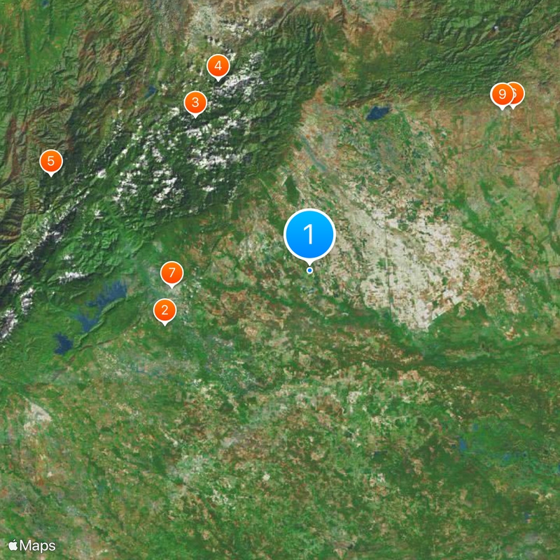
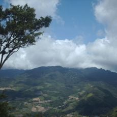
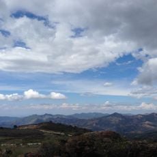
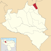
Portuguesa is a state in western Venezuela covering more than 15,000 square kilometers and combining Andean areas in the northwest with wide plains elsewhere. The fourteen municipalities of the territory are linked by a road network, with Acarigua serving as the commercial hub for agricultural goods.
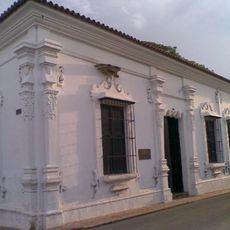
The territory was established as a province with Guanare as capital in 1851 and gained state status on January 1, 1909. This transformation followed the political reorganization of Venezuela at the beginning of the 20th century.
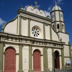
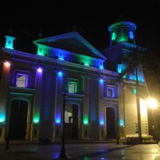
The shrine of Our Lady of Coromoto in Guanare draws believers from across the country and forms an important center of Catholic tradition. Pilgrims come here to join religious celebrations and experience the atmosphere of devotion that shapes this place.
The main roads connect the different municipalities and provide access to the rural areas where most agricultural activity takes place. Guanare sits in the center and works as a good starting point for visits to different parts of the state.
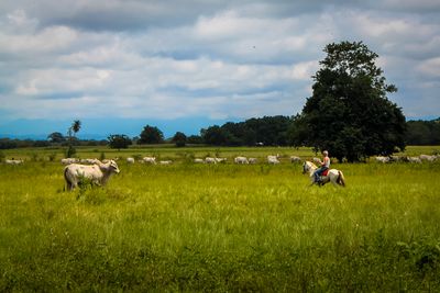
The region produces large amounts of corn, rice, sesame, cotton, sorghum, sugarcane, tobacco, and coffee and contributes significantly to Venezuela's agricultural production. The fields of these crops shape the landscape and are clearly visible to visitors along the roads through the plains.
Location: Venezuela
Inception: 1909
Capital city: Guanare
Elevation above the sea: 118 m
Shares border with: Trujillo, Lara, Cojedes, Barinas State
Website: http://portuguesa.gob.ve
GPS coordinates: 9.10000,-69.26667
Latest update: December 4, 2025 19:05
Cerro María Lionza Natural Monument
113.1 km
Flor de Venezuela
108.3 km
Obelisco de Barquisimeto
108.1 km
Basilica of the National Shrine of Our Lady of Coromoto
59.3 km
Yacambú National Park
73.9 km
Bararida Zoological and Botanical Park
109.1 km
Barquisimeto Cathedral
108.5 km
Terepaima National Park
85.3 km
Volcán de Sanaré
81.5 km
Estadio Metropolitano de Fútbol de Lara
99.6 km
Dinira National Park
106 km
Estadio Agustín Tovar
116.2 km
Guaramacal National Park
102.6 km
Loma de León Natural Monument
101 km
Tirgua National Park
107.5 km
Teatro Juares
107.7 km
San Carlos Circuit
100.4 km
Cathedral of Our Lady of the Pillar
116 km
Cathedral Basilica of Our Lady of Coromoto
53.5 km
La Blanquera
96.7 km
Cuatro de Barquisimeto
108.2 km
Barquisimeto Museum
107.2 km
Domo Bolivariano
109.4 km
Plaza Bolívar
107.4 km
Viaducto Agrícola "Batalla de Niquitao"
125.4 km
Cathedral of the Immaculate Conception
97.1 km
Basílica del Santo Cristo de la Gracia
108.1 km
El Guache National Park
61.8 kmVisited this place? Tap the stars to rate it and share your experience / photos with the community! Try now! You can cancel it anytime.
Discover hidden gems everywhere you go!
From secret cafés to breathtaking viewpoints, skip the crowded tourist spots and find places that match your style. Our app makes it easy with voice search, smart filtering, route optimization, and insider tips from travelers worldwide. Download now for the complete mobile experience.
A unique approach to discovering new places❞
— Le Figaro
All the places worth exploring❞
— France Info
A tailor-made excursion in just a few clicks❞
— 20 Minutes