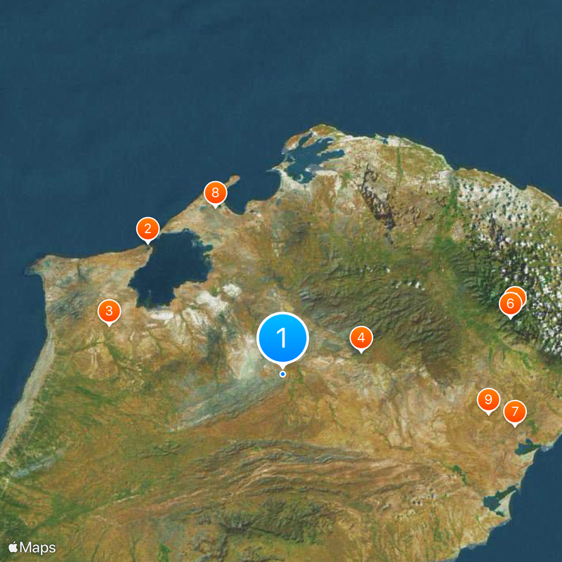
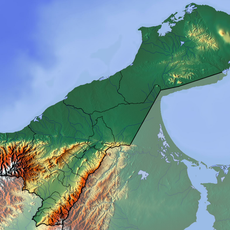
Guajira Peninsula, Peninsula between Caribbean Sea and Gulf of Venezuela, Colombia and Venezuela.
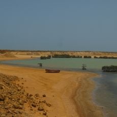
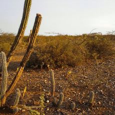
The Guajira Peninsula is a large landmass between the Caribbean Sea and the Gulf of Venezuela that spreads across Colombia and Venezuela. It contains desert terrain near coastal areas, flat wetland zones with lakes and lagoons, and hilly sections toward the interior.
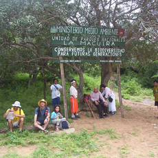
The region was home to the Wayuu for centuries before outside contact reshaped its history. A border dispute between Colombia and Venezuela over territorial claims was settled through arbitration in 1891.
The Wayuu people shape daily life across this region with their long-standing traditions, language, and livestock practices that remain central to community identity. Walking through villages and settlements, you encounter their craft traditions and see how locals interact with the land in ways passed down through families.
The northernmost point called Punta Gallinas is most accessible when approaching from coastal towns like Riohacha. Visiting during drier months is advisable, as roads become difficult and weather conditions can complicate travel during wetter seasons.
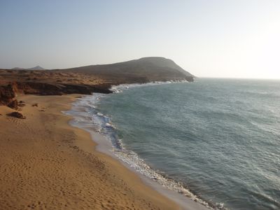
Punta Gallinas at the northern tip is the furthest north point on mainland South America and features bright orange sand beaches alongside rocky formations. This location was long difficult for visitors to reach, but now draws increasing numbers of travelers seeking the isolation and dramatic terrain.
The community of curious travelers
AroundUs brings together thousands of curated places, local tips, and hidden gems, enriched daily by 60,000 contributors worldwide.