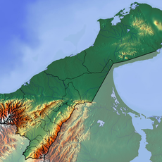
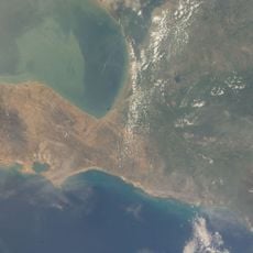
Municipio La Guajira, second-level administrative division in the Zulia State, Venezuela
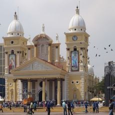
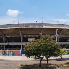
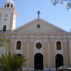
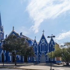
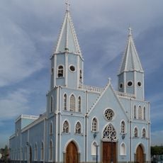
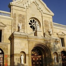
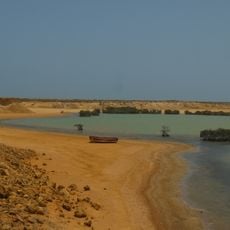
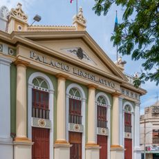
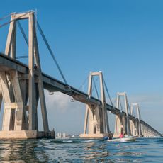
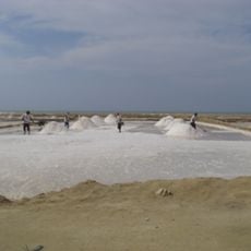
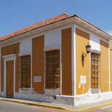
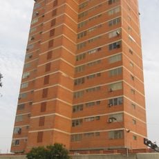
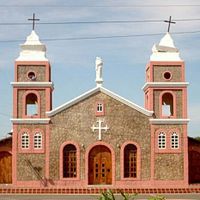
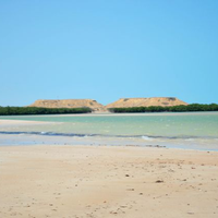
Municipio La Guajira is an administrative division in Zulia state in northwestern Venezuela. The area comprises several communities and settlements distributed across the region.
The area was established as an administrative district during the development of Venezuela's political structure. It evolved as part of the regional organization of Zulia state.
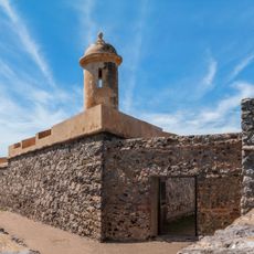
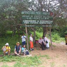
Visitors should know that infrastructure in rural areas can be limited and basic services vary in availability. The best time to explore is during the dry season when road conditions are better.
The community of curious travelers
AroundUs brings together thousands of curated places, local tips, and hidden gems, enriched daily by 60,000 contributors worldwide.
Location
Inception
1989
Capital city
Sinamaica
Part of
Zulia
Shares border with
Colombia
GPS coordinates
11.35222,-72.03722
Latest update
December 14, 2025 17:00