Zinacantepec Municipality, Municipal district in State of Mexico, Mexico
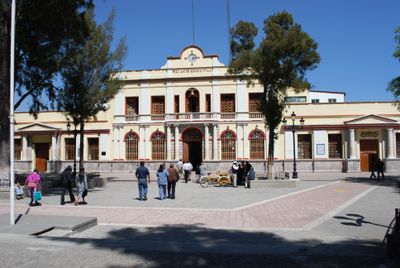
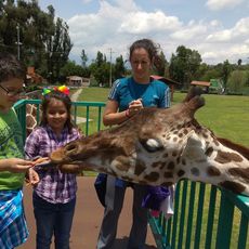
Zinacantepec is a municipality in the State of Mexico that spans multiple communities with San Miguel Zinacantepec serving as its administrative center at 2,830 meters elevation. The territory encompasses around 130 smaller communities spread across varied terrain and landscapes.
The name comes from Nahuatl meaning 'bat mountain', referring to caves that once sheltered thousands of bats before the Spanish arrival. Franciscan missionaries arrived in the 16th century and established religious structures that shaped the region's character.
Catholicism shapes the spiritual life of residents, with major festivals honoring the Virgin of Los Dolores and Archangel Michael celebrated throughout the year by the community. These celebrations reveal how deeply Christian faith is woven into daily communal practices.
The municipality is accessible by various roads and local routes, with most homes having electricity and water connections available. Visitors should be prepared for cooler temperatures due to the high elevation and wear appropriate footwear for exploring.
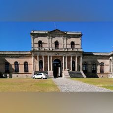
The Parish of San Miguel was one of the first Franciscan missionary structures built here and remains the most complete example of 16th-century religious architecture in the Toluca Valley. This building preserves rare examples of early colonial design and craftsmanship from that era.
The community of curious travelers
AroundUs brings together thousands of curated places, local tips, and hidden gems, enriched daily by 60,000 contributors worldwide.