
Temamatla, human settlement in Mexico
Location: State of Mexico
Capital city: Temamatla
Elevation above the sea: 2,276 m
GPS coordinates: 19.20278,-98.87000
Latest update: March 2, 2025 19:45


Tlapacoya
11.9 km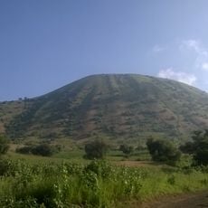
San Francisco Tlaltenco
18.2 km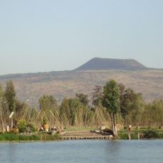
Teuhtli volcano
17 km
San Juan Ixtayopan
13.8 km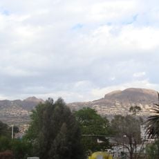
Tetlalmanche Volcano
19.3 km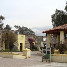
Santa Catarina Yecahuízotl
15.7 km
The Nest
13 km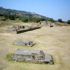
Acozac
14.2 km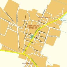
San Nicolás Tetelco
10.9 km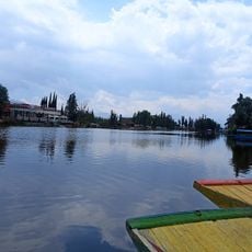
Lago de los Reyes
16.1 km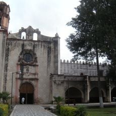
Former convent of Saint William
24.2 km
Museo de Sor Juana Inés de la Cruz
12.3 km
Museo Comunitario del Valle de Xico
10.5 km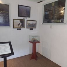
Cuerpo De Fuerzas Especiales
1.9 km
Iglesia Virgen de Piedra
17.4 km
Aleman Munich
17.6 km
Zapatista Headquarters Museum
21.4 km
Centro de educación ambiental Acuexcomatl
17.9 km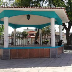
Kiosko Tetelco
10.9 km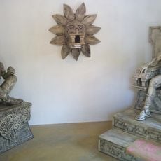
Museum Cartonería
6.6 km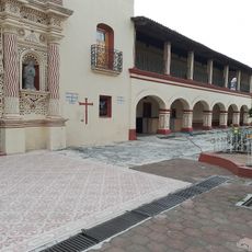
Dif Municipal Juchitepef
11.4 km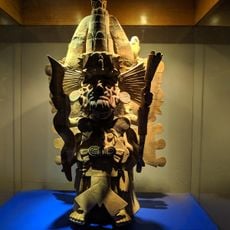
Museo Regional
15.7 km
San Andrés Míxquic
10.3 km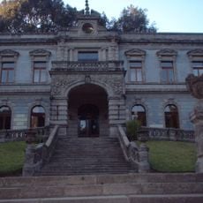
La Castañeda
16.5 km
Caldera Volcano
18.1 km
Contraloria Chalco
7.1 km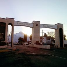
Arco Ozumba
20 km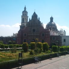
Cathedral of St. Juan Diego, Valle de Chalco Solidaridad
7.2 kmVisited this place? Tap the stars to rate it and share your experience / photos with the community! Try now! You can cancel it anytime.
Discover hidden gems everywhere you go!
From secret cafés to breathtaking viewpoints, skip the crowded tourist spots and find places that match your style. Our app makes it easy with voice search, smart filtering, route optimization, and insider tips from travelers worldwide. Download now for the complete mobile experience.

A unique approach to discovering new places❞
— Le Figaro
All the places worth exploring❞
— France Info
A tailor-made excursion in just a few clicks❞
— 20 Minutes