Chest opened
+${chestReward.xp} XP
Explorer
NOUVEAU ×${chestReward.collectible.quantity}
tapez pour fermer
Chest locked

Open chests in the app

Around Us is built for your phone — chests unlock when you walk, explore and capture nearby places.

Enable Location

We need your location to show you interesting places around you

Discover nearby places

Find interesting locations and hidden gems around you

Precise directions

Get accurate directions and distances to places

Your location is never shared with other users. It's only used when you tap the location button.

Chicoloapan de Juarez

Log in to your account

Start exploring — it's free

Trusted by 72,973 travelers worldwide

Continue with Google
Continue with Apple
or

We will send you a code to connect

By continuing, you accept our Terms and Conditions and our Privacy Policy

Check your inbox

We've sent a pincode in your inbox. Please enter the code below.

Discussion Reviews 2 Photos
41.5k Popularity

Chicoloapan de Juarez, Administrative division in State of Mexico, Mexico.

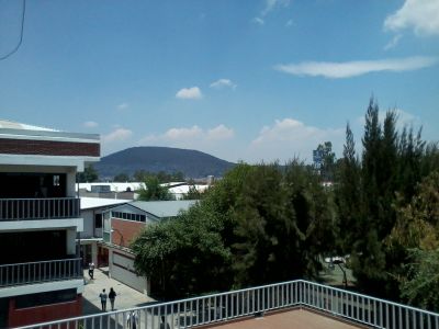
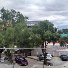
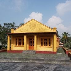
Chicoloapan de Juárez is an administrative division in the State of Mexico composed of several distinct neighborhoods including Ciudad Galaxia los Reyes, Lomas de Chicoloapan III, and Real de San Vicente II. The area contains residential zones with mixed development patterns and blends urban and rural characteristics.

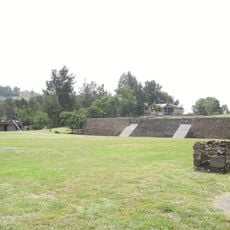
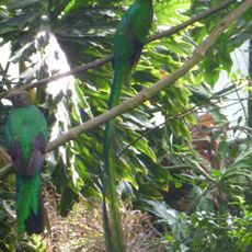
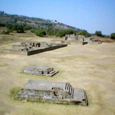
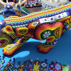
The name originates from Nahuatl language and refers to a native bird species that inhabited the region during pre-Hispanic settlements. These roots demonstrate the long presence of indigenous cultures in the area.

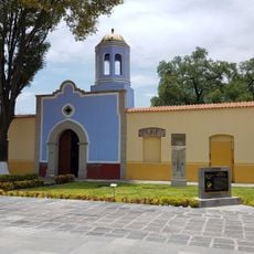
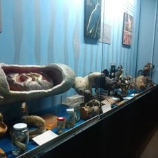
Local celebrations display traditional customs through music, food, and crafts that reflect Mexican heritage. Visitors can experience these expressions firsthand during community gatherings throughout the neighborhoods.

The area connects to Mexico City through various public transportation routes, with the capital situated approximately 19 km from the administrative center. Visitors can use these connections to navigate between the different neighborhoods.

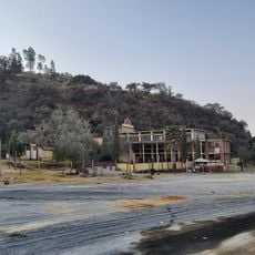
Local programs encourage sustainable farming practices that preserve the region's traditional cultivation methods while incorporating modern conservation techniques. This approach shows how rural areas are reshaping their economy while respecting their roots.

The community of curious travelers

AroundUs brings together thousands of curated places, local tips, and hidden gems, enriched daily by 60,000 contributors worldwide.

Start exploring
Location
Capital city
Chicoloapan de Juárez
Elevation above the sea
2,250 m
GPS coordinates
19.41306,-98.88333
Latest update
December 17, 2025 08:10
Reviews
Share your experience

No review yet

Discussions
Start a discussion...

No discussion yet

« Chicoloapan de Juarez - Administrative division in State of Mexico, Mexico » is provided by Around Us (aroundus.com). Images and texts are derived from Wikimedia project under a Creative Commons license. You are allowed to copy, distribute, and modify copies of this page, under the conditions set by the license, as long as this note is clearly visible.

Discover hidden gems everywhere you go!

From secret cafés to breathtaking viewpoints, skip the crowded tourist spots and find places that match your style. Our app makes it easy with voice search, smart filtering, route optimization, and insider tips from travelers worldwide. Download now for the complete mobile experience.

Around Us App Screenshot

A unique approach to discovering new places

Le Figaro

All the places worth exploring

France Info

A tailor-made excursion in just a few clicks

20 Minutes

Around Us
Travel Guide & Maps
Download

Send to your phone

QR Code
1

Open the camera app on your mobile.

2

Point at the QR code with your camera. A notification will appear.

3

Tap the notification to open the link.