Huehuetoca Municipality
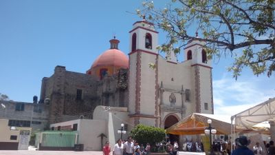
Huehuetoca Municipality, Municipal administrative division in State of Mexico, Mexico
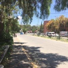
Huehuetoca is a municipality in the State of Mexico covering approximately 162 square kilometers with borders shared by several neighboring towns. The territory connects different zones within the broader metropolitan region.
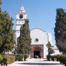
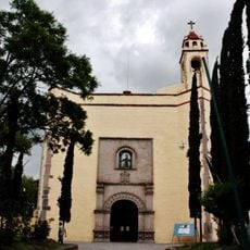
The area originated from Chichimeca migrations led by Mixcóatl around 528 CE and later fell under control of various Mesoamerican peoples. This layered past shaped the cultural character of the region.
The name comes from Nahuatl, with huehue meaning old or ancient, and this linguistic heritage shapes how locals understand their community's roots. The indigenous past remains woven into the identity of the area today.
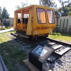
The municipality connects to major urban centers through the Mexico City-Nuevo Laredo railway line and maintains regular bus connections to neighboring towns. This transportation network makes it easy to explore surrounding areas or commute between communities.
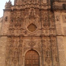
In the 1600s this area played a key role in one of the first major drainage projects of Mexico Valley, engineered by Enrico Martínez. This ambitious undertaking, which unfolded over 200 years, permanently reshaped the region's water landscape.
Location: State of Mexico
Capital city: Huehuetoca
Elevation above the sea: 2,250 m
Website: http://huehuetoca.gob.mx
GPS coordinates: 19.82000,-99.25833
Latest update: December 13, 2025 03:50
Museo Nacional del Virreinato
12.5 km
Church of San Francisco Javier, Tepotzotlán
12.5 km
Tepotzotlán Aqueduct
10.3 km
Infonavit Norte
16.7 km
St. Bonaventure Cathedral, Cuautitlán
18.8 km
Santiago Apóstol parish in Tequixquiac
15.4 km
Templo y exconvento de San Francisco
12.9 km
Archaeological Museum Apaxco
19.4 km
Letras Pueblo Mágico Tepotzotlan
12.5 km
Museo Arqueológico de Coyotepec Ehecalli
7.9 km
Toscana Alta La Palma
9.4 km
Museo del Ferrocarrilero
6.1 km
Former convent of San Francisco in Tepeji del Río
12.2 km
Parque Cardenales
16.8 km
Foro Municipal
15.3 km
Kiosco Municipal Santa Barbara
13.8 km
Tepotzotlán
12.5 km
Plaza Cívica Bo. San Juan
16.6 km
Casa de Cultura Tequixquiac
15.3 km
Auditorio de Extensión Universitaria
15.7 km
Amanali Country Club & Náutica
16.4 km
Foro San Mateo
14.9 km
Adolfo López Mateos
14.2 km
La Canastilla
17 km
Benito Juárez
15.3 km
Estatua Tepotzotlan
13.3 km
Señor del Nicho
12.4 km
El Salto
16.6 kmVisited this place? Tap the stars to rate it and share your experience / photos with the community! Try now! You can cancel it anytime.
Discover hidden gems everywhere you go!
From secret cafés to breathtaking viewpoints, skip the crowded tourist spots and find places that match your style. Our app makes it easy with voice search, smart filtering, route optimization, and insider tips from travelers worldwide. Download now for the complete mobile experience.
A unique approach to discovering new places❞
— Le Figaro
All the places worth exploring❞
— France Info
A tailor-made excursion in just a few clicks❞
— 20 Minutes