Enable Location

We need your location to show you interesting places around you

Discover nearby places

Find interesting locations and hidden gems around you

Precise directions

Get accurate directions and distances to places

Your location is never shared with other users. It's only used when you tap the location button.

Ecatepec de Morelos

Log in to your account

Start exploring — it's free

Trusted by 61,500 travelers worldwide

Continue with Google
Continue with Apple
or

We will send you a code to connect

By continuing, you accept our Terms and Conditions and our Privacy Policy

Check your inbox

We've sent a pincode in your inbox. Please enter the code below.

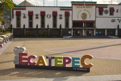
Ecatepec de Morelos, Administrative division in northern Greater Mexico City, Mexico

Description

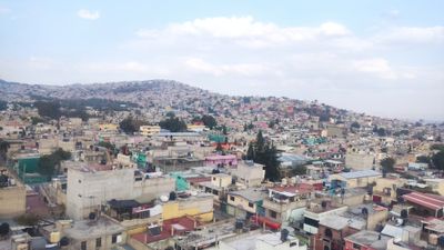
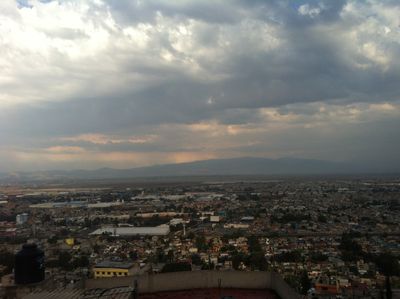
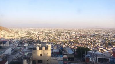
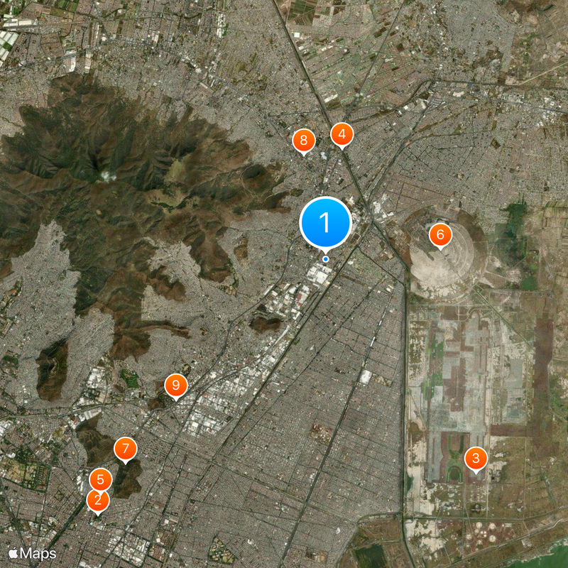
Ecatepec de Morelos is a municipality north of Mexico City in the State of Mexico, covering an area of roughly 160 square kilometers (62 square miles). The administrative unit belongs to the metropolitan area and borders several other municipalities within the region.

History

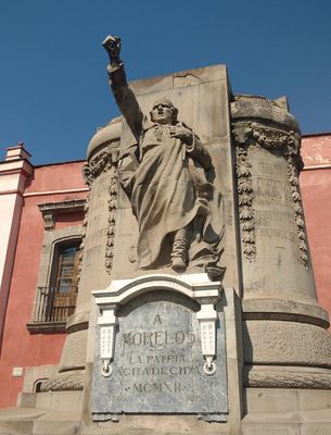
The area began as an Aztec altepetl controlling trade routes between the Valley of Mexico and northern regions. In 1815, independence leader José María Morelos was executed here, which led the municipality to later adopt his name.

Culture

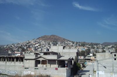
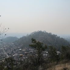
The name comes from Nahuatl and means 'windy hill', referring to the geographic setting. On July 25, residents celebrate Saint Christopher with processions and masses in several neighborhoods.

Practical

Residents and visitors reach different neighborhoods through Metro Line B, Mexibús rapid transit buses, and the Mexicable cable car linking hills to the center. Orientation is easier when using the main through roads as reference points.

Did you know?

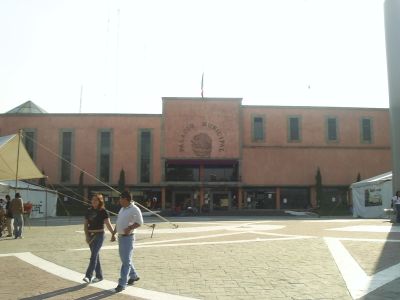
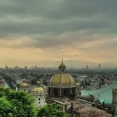
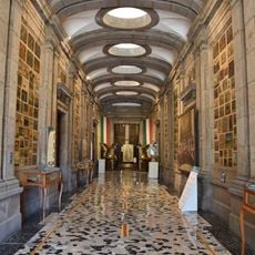
The Viceroys' House now holds the Morelos Museum, set up at the location where the independence leader was shot. The building itself served during colonial times as a rest stop for officials traveling between the capital and the north.

Location
Inception
October 13, 1877
Capital city
San Cristóbal Ecatepec
Elevation above the sea
2,250 m
GPS coordinates
19.56667,-99.04000
Latest update
December 14, 2025 20:49

AroundUs brings together thousands of curated places, local tips, and hidden gems, enriched daily by 60,000 contributors worldwide. Discover all places nearby (State of Mexico).

« Ecatepec de Morelos - Administrative division in northern Greater Mexico City, Mexico » is provided by Around Us (aroundus.com). Images and texts are derived from Wikimedia project under a Creative Commons license. You are allowed to copy, distribute, and modify copies of this page, under the conditions set by the license, as long as this note is clearly visible.

Discover hidden gems everywhere you go!

From secret cafés to breathtaking viewpoints, skip the crowded tourist spots and find places that match your style. Our app makes it easy with voice search, smart filtering, route optimization, and insider tips from travelers worldwide. Download now for the complete mobile experience.

Around Us App Screenshot

A unique approach to discovering new places

Le Figaro

All the places worth exploring

France Info

A tailor-made excursion in just a few clicks

20 Minutes

Around Us
Travel Guide & Maps
Download

Send to your phone

QR Code
1

Open the camera app on your mobile.

2

Point at the QR code with your camera. A notification will appear.

3

Tap the notification to open the link.