Zacatecas, Administrative division in Central Mexico
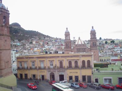
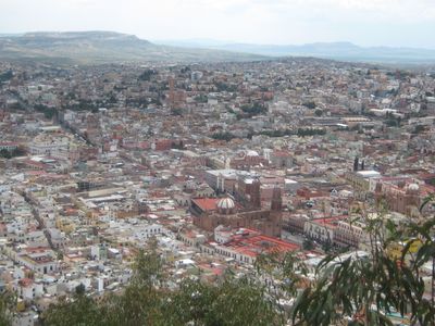
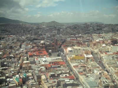
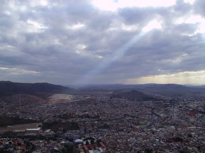
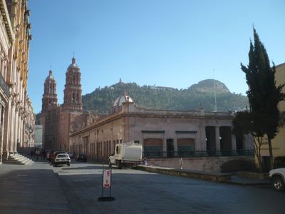
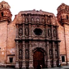
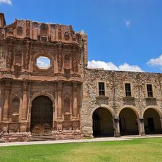
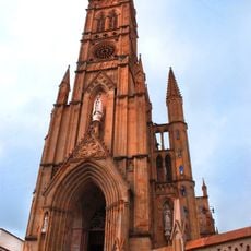
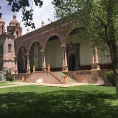
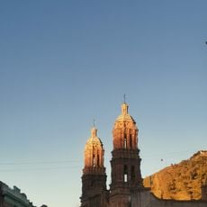
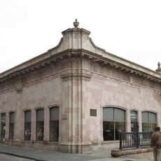
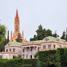
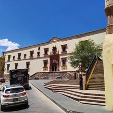
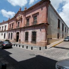
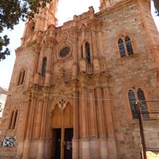
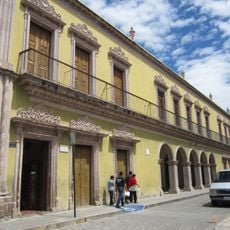
Zacatecas is the capital of the state bearing the same name in central Mexico, sitting at around 2440 meters elevation. The city spreads across several hills and narrow valleys filled with pink stone buildings and winding lanes.
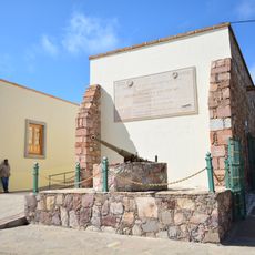
The settlement began in 1546 after Spanish conquistadors discovered rich silver deposits and quickly grew into one of the most important mining centers of New Spain. In 1914, the city witnessed a decisive battle during the Mexican Revolution that changed the course of the conflict.
The name derives from Nahuatl and means
The high altitude means cool nights even in summer, so pack a jacket and take time to adjust to the thinner air. Many streets climb steeply and cobblestones can be slippery, so comfortable shoes with good grip are helpful.
An underground mine tunnel has been converted into a walkable museum route that takes visitors through former working shafts beneath the city center. The entrances emerge directly from residential buildings and plazas at several points, linking the surface with the mining past below.
Location: Zacatecas
Elevation above the sea: 2,440 m
Part of: Zacatecas
Website: http://capitalzacatecas.gob.mx
GPS coordinates: 22.77167,-102.57528
Latest update: December 4, 2025 23:05
Holy Infant of Atocha
57.5 km
Santuario del Cristo Roto, San José de Gracia, Aguascalientes
72 km
La Quemada
43.2 km
Zacatecas Cathedral
535 m
Sanctuary of Plateros
57.7 km
Rafael Coronel Museum
1.3 km
Our Lady of Fatima Church, Zacatecas city, Zacatecas state, Mexico
364 m
Guadalupe regional museum
6.5 km
Teatro Fernando Calderón
422 m
Museo Toma de Zacatecas
1.2 km
Museo La Casa Del Inquisidor
292 m
Mercado González Ortega
475 m
La Quemada
43.2 km
Museo Francisco Goitia
276 m
El Tepozán
94.2 km
Museo Pedro Coronel
541 m
Museo Zacatecano
412 m
Jardín Botánico Rey Netzahualcoyotl
99.3 km
Museo Nacional de Pueblos Mágicos
103.9 km
Casa de la Cultura de San José de Gracia
71.1 km
Tepozán Shrine
77.3 km
Templo de San Isidro Labrador, Hacienda de Garabato
80.1 km
Templo de Guadalupito, Zacatecas, México
702 m
Parroquia del Señor del Salitre
104 km
Templo del Sagrado Corazón de Jesús, Luis Moya, Zacatecas
50.4 km
Teatro Hinojosa
44.9 km
Santuario de la Virgen de Guadalupe
104.3 km
Ex Hacienda de Cañada Honda, Ags.
94 kmReviews
Visited this place? Tap the stars to rate it and share your experience / photos with the community! Try now! You can cancel it anytime.
Discover hidden gems everywhere you go!
From secret cafés to breathtaking viewpoints, skip the crowded tourist spots and find places that match your style. Our app makes it easy with voice search, smart filtering, route optimization, and insider tips from travelers worldwide. Download now for the complete mobile experience.
A unique approach to discovering new places❞
— Le Figaro
All the places worth exploring❞
— France Info
A tailor-made excursion in just a few clicks❞
— 20 Minutes