
Ciudad Mier, City in Mier Municipality in Tamaulipas, located in northern Mexico near the Rio Grande
Location: Mier Municipality
Inception: March 6, 1753
Elevation above the sea: 64 m
Website: http://mier.gob.mx
GPS coordinates: 26.43056,-99.14861
Latest update: March 14, 2025 13:34

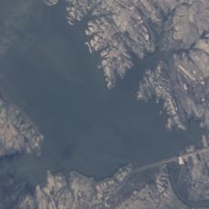
Falcon International Reservoir
14.4 km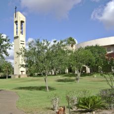
Basilica of the National Shrine of Our Lady of San Juan del Valle
102.2 km
Santa Ana National Wildlife Refuge
108.3 km
National Butterfly Center
83 km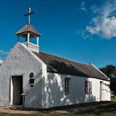
La Lomita Chapel
87.1 km
Bentsen-Rio Grande Valley State Park
81.7 km
McAllen–Hidalgo–Reynosa International Bridge
95.2 km
El Sabinal National Park
61 km
McAllen Convention Center
92.3 km
McAllen Public Library
92.8 km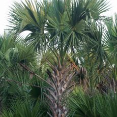
McAllen Botanical Gardens
94.1 km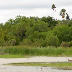
Estero Llano Grande State Park
123.7 km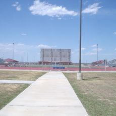
Student Activity Complex
122.2 km
First Lift Station
85.1 km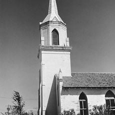
Roma Historic District
13.3 km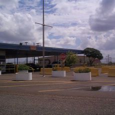
Falcon Dam Port of Entry
13.7 km
Topgolf
98.1 km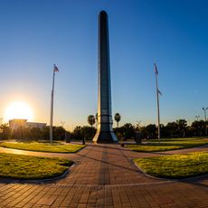
Veterans War Memorial of Texas
92.7 km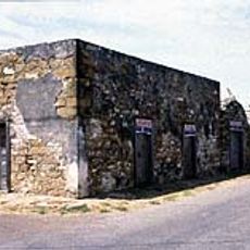
Trevino-Uribe Rancho
74.4 km
Border Theater
85.5 km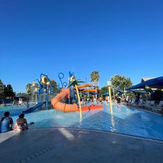
Pharr Aquatic Center
100.6 km
M and J Nelson Building
94.6 km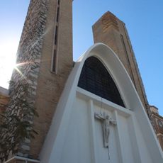
Reynosakatedralen
94.8 km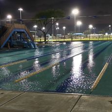
Mcallen public pool
93.8 km
McAllen Heritage Center
94.7 km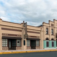
Rio Theater
85.6 km
Garmon Theater
33.4 km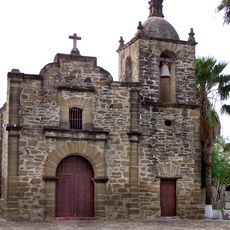
Capilla de San Juan Bautista
317 mVisited this place? Tap the stars to rate it and share your experience / photos with the community! Try now! You can cancel it anytime.
Discover hidden gems everywhere you go!
From secret cafés to breathtaking viewpoints, skip the crowded tourist spots and find places that match your style. Our app makes it easy with voice search, smart filtering, route optimization, and insider tips from travelers worldwide. Download now for the complete mobile experience.

A unique approach to discovering new places❞
— Le Figaro
All the places worth exploring❞
— France Info
A tailor-made excursion in just a few clicks❞
— 20 Minutes