Enable Location

We need your location to show you interesting places around you

Discover nearby places

Find interesting locations and hidden gems around you

Precise directions

Get accurate directions and distances to places

Your location is never shared with other users. It's only used when you tap the location button.

DeWitt County

Log in to your account

Start exploring — it's free

Trusted by 62,487 travelers worldwide

Continue with Google
Continue with Apple
or

We will send you a code to connect

By continuing, you accept our Terms and Conditions and our Privacy Policy

Check your inbox

We've sent a pincode in your inbox. Please enter the code below.

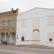
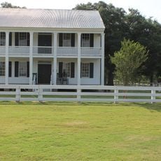
DeWitt County, Administrative division in Southeast Texas, United States

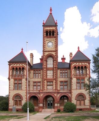
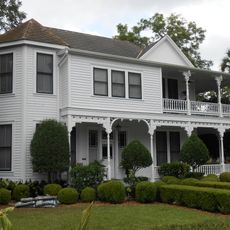
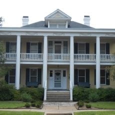
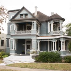
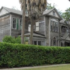
DeWitt County is an administrative division in Southeast Texas spanning roughly 909 square miles across the region. It includes the city of Cuero as its main hub along with several smaller communities scattered throughout its territory.

The county was founded in 1846 and named after Green DeWitt, a settler who received a land grant in 1825 to establish a colony of 400 families. This early settlement effort became a foundation for regional growth during Texas's expansion period.

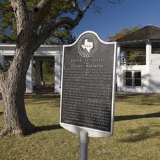
The Sutton-Taylor feud, which began as a law enforcement dispute, shaped the social dynamics of DeWitt County during the post-Civil War period.

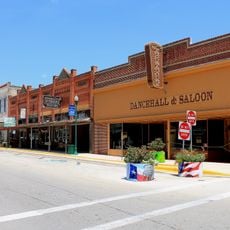
The county government operates from Cuero and organizes services across four commissioner districts for easier access. Roads connecting the various communities are generally passable year-round, making it straightforward to explore different parts of the county at your own pace.

The territory was once home to several Native American groups including the Tonkawa, Aranamas, Tamiques, Karankawa, Tawakoni, and Lipan Apache. Archaeological traces of these different peoples remain scattered across the landscape today.

The community of curious travelers

AroundUs brings together thousands of curated places, local tips, and hidden gems, enriched daily by 60,000 contributors worldwide.

Start exploring
GPS coordinates
29.09313,-97.31585
Latest update
December 7, 2025 19:29
Around this place
Fannin Battleground State Historic Site
United States of America

Fannin Battleground State Historic Site

46 km
Riverside Stadium
United States of America

Riverside Stadium

42.2 km
DeLeon Plaza and Bandstand
United States of America

DeLeon Plaza and Bandstand

44.5 km
Cathedral of Our Lady of Victory
United States of America

Cathedral of Our Lady of Victory

43.5 km
Gonzales County Courthouse
United States of America

Gonzales County Courthouse

47.3 km
Church of the Blessed Virgin Mary, the Queen of Peace
United States of America

Church of the Blessed Virgin Mary, the Queen of Peace

36.7 km
First Methodist Church
United States of America

First Methodist Church

2.7 km
Pickering House
United States of America

Pickering House

44.2 km
Dr. L.W. and Martha E.S. Chilton House
United States of America

Dr. L.W. and Martha E.S. Chilton House

47.7 km
Macedonia Baptist Church
United States of America

Macedonia Baptist Church

1.8 km
Grace Episcopal Church
United States of America

Grace Episcopal Church

2.5 km
Burrough-Daniel House
United States of America

Burrough-Daniel House

43.9 km
Proctor House
United States of America

Proctor House

44.2 km
Breeden-Runge Wholesale Grocery Company Building
United States of America

Breeden-Runge Wholesale Grocery Company Building

2 km
Mrs. J. V. Murphy House
United States of America

Mrs. J. V. Murphy House

44 km
Theodore Buhler House
United States of America

Theodore Buhler House

44.1 km
O'Connor-Proctor Building
United States of America

O'Connor-Proctor Building

43.8 km
J. V. Vandenberge House
United States of America

J. V. Vandenberge House

44.1 km
Cuero Commercial Historic District
United States of America

Cuero Commercial Historic District

2.4 km
Little House
United States of America

Little House

43.9 km
J. T. Jecker House
United States of America

J. T. Jecker House

38.4 km
Terrell-Reuss Streets Historic District
United States of America

Terrell-Reuss Streets Historic District

2.7 km
DeWitt County Courthouse
United States of America

DeWitt County Courthouse

2.6 km
Old Victoria County Courthouse
United States of America

Old Victoria County Courthouse

44.4 km
Lynn Theatre
United States of America

Lynn Theatre

47.4 km
Eckhardt Stores
United States of America

Eckhardt Stores

22.2 km
Oak Forest Bridge
United States of America

Oak Forest Bridge

47.6 km
Braches House
United States of America

Braches House

42.6 km
Show the full map
« DeWitt County - Administrative division in Southeast Texas, United States » is provided by Around Us (aroundus.com). Images and texts are derived from Wikimedia project under a Creative Commons license. You are allowed to copy, distribute, and modify copies of this page, under the conditions set by the license, as long as this note is clearly visible.

Discover hidden gems everywhere you go!

From secret cafés to breathtaking viewpoints, skip the crowded tourist spots and find places that match your style. Our app makes it easy with voice search, smart filtering, route optimization, and insider tips from travelers worldwide. Download now for the complete mobile experience.

Around Us App Screenshot

A unique approach to discovering new places

Le Figaro

All the places worth exploring

France Info

A tailor-made excursion in just a few clicks

20 Minutes

Around Us
Travel Guide & Maps
Download

Send to your phone

QR Code
1

Open the camera app on your mobile.

2

Point at the QR code with your camera. A notification will appear.

3

Tap the notification to open the link.